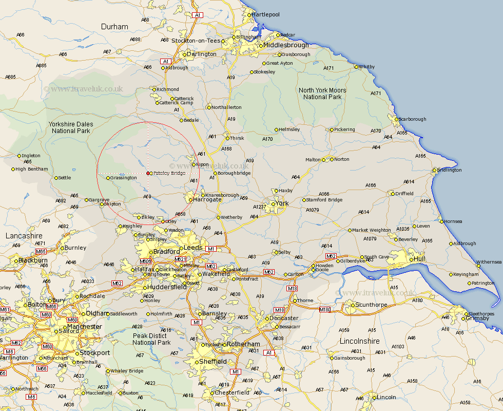
Yorkshire Map Showing Location of Bewerley
Population: 730
District: Harrogate
Easting: 415262 Northing: 465310
Latitude: 54.08 Longitude: -1.77
 = Bewerley
District: Harrogate
Easting: 415262 Northing: 465310
Latitude: 54.08 Longitude: -1.77
= Bewerley
This Bewerley map below is supplied by Google. Use the tools in the top left corner to zoom into street level or zoom out for a road map, you may also need to zoom in to see Bewerley on the map. Click and drag the map to move around. If the map fails to load try and refresh your browser or zoom in or out (+ or -).
Update - it seems Google no longer allow people to use their maps for free! This Bewerley map sometimes loads and sometimes gives a error. I am working on a solution.
Closest 30 Towns or Cities to Bewerley (Population over 500)
Dacre 4.94km Darley 7.06km Birstwith 11.26km Kirkby Malzeard 11.99km Hampsthwaite 13.16km Grewelthorpe 13.47km Grassington 14.26km Killinghall 15.97km Masham 16.67km Ripon 16.72km Threshfield 16.73km Bishop Monkton 17.39km Monkton 17.39km Burton Leonard 17.5km Addingham 18.34km Tanfield 18.39km West Tanfield 18.39km Burley in Wharfedale 18.56km Burley 18.56km Ilkley 18.81km Harrogate 18.86km Embsay 19.19km Bradley 19.74km Skipton 20.85km Otley 21.1km Pannal 21.26km Knaresborough 21.67km Menston 22.35km Middleham 22.48km Pool 22.62km