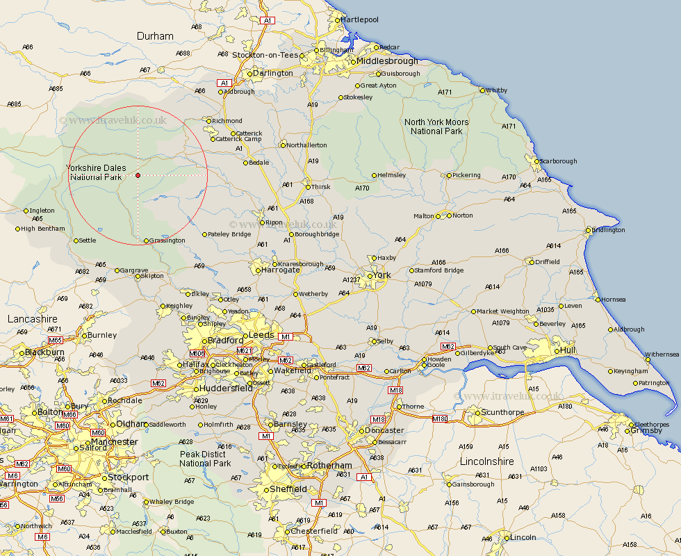
Yorkshire Map Showing Location of Bishopdale
Population: 30
District: Richmondshire
Easting: 398913 Northing: 483831
Latitude: 54.25 Longitude: -2.02
 = Bishopdale
District: Richmondshire
Easting: 398913 Northing: 483831
Latitude: 54.25 Longitude: -2.02
= Bishopdale
This Bishopdale map below is supplied by Google. Use the tools in the top left corner to zoom into street level or zoom out for a road map, you may also need to zoom in to see Bishopdale on the map. Click and drag the map to move around. If the map fails to load try and refresh your browser or zoom in or out (+ or -).
Update - it seems Google no longer allow people to use their maps for free! This Bishopdale map sometimes loads and sometimes gives a error. I am working on a solution.
Closest 30 Towns or Cities to Bishopdale (Population over 500)
Bradley 4.93km Hawes 13.14km Middleham 13.51km Leyburn 14.13km Grassington 20.5km Threshfield 22.24km Masham 24.12km Bewerley 24.67km Richmond 24.82km Grewelthorpe 24.97km Kirkby Malzeard 25.58km Settle 26.08km Crakehall 26.56km Giggleswick 27.56km Catterick 28.05km Gilling 28.17km Bedale 28.38km Clapham 29.11km Dacre 29.6km Tanfield 29.78km West Tanfield 29.78km Gargrave 30.15km Scorton 30.82km Ingleton 31.31km Skipton 31.5km Embsay 31.58km Long Preston 31.69km Darley 31.72km Hellifield 32.39km Middleton Tyas 32.55km