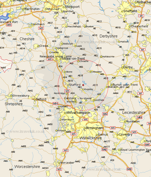
Staffordshire Map Showing Location of Blithfield
Population: 225
District: East Staffordshire
Easting: 404494 Northing: 322532
Latitude: 52.8 Longitude: -1.93
 = Blithfield
District: East Staffordshire
Easting: 404494 Northing: 322532
Latitude: 52.8 Longitude: -1.93
= Blithfield
This Blithfield map below is supplied by Google. Use the tools in the top left corner to zoom into street level or zoom out for a road map, you may also need to zoom in to see Blithfield on the map. Click and drag the map to move around. If the map fails to load try and refresh your browser or zoom in or out (+ or -).
Update - it seems Google no longer allow people to use their maps for free! This Blithfield map sometimes loads and sometimes gives a error. I am working on a solution.
Closest 30 Towns or Cities to Blithfield (Population over 500)
Rugeley 3.7km Abbots Bromley 3.84km Colwich 3.84km Colton 3.87km Weston 6.72km Weston upon Trent 6.72km Armitage 8.14km Bednall 9.7km Longdon 9.85km Stafford 11.21km Yoxall 11.52km Marchington 11.63km Hopton 11.8km Hednesford 11.99km Uttoxeter 12.45km Huntington 13km Leigh 13.17km Church Leigh 13.17km Norton Canes 13.17km Burntwood 13.17km Hanbury 13.94km Cannock 14.14km Penkridge 14.39km Checkley 14.86km Lichfield 15.17km Wyrley 15.57km Great Wyrley 15.57km Tatenhill 15.8km Alrewas 16.34km Hilderstone 16.43km