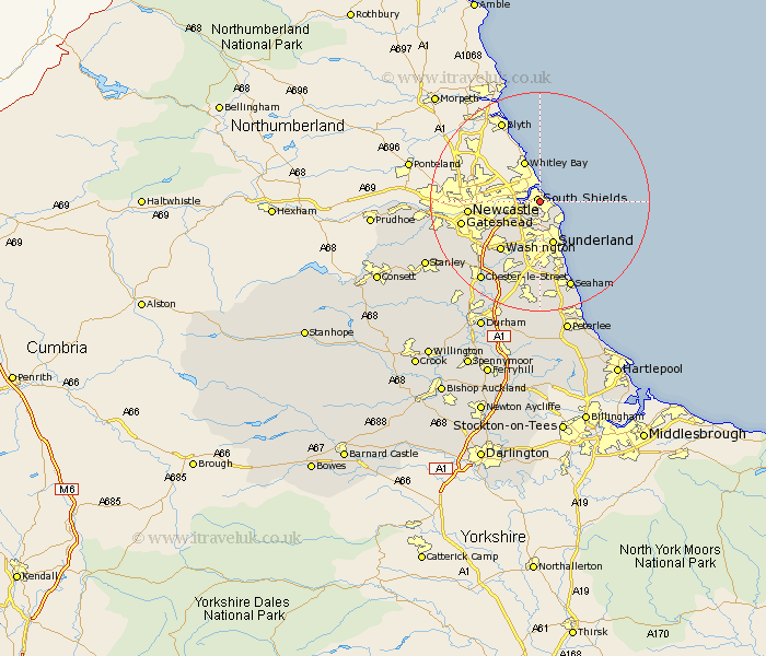
Durham Map Showing Location of Westoe
District: South Tyneside
Easting: 437326 Northing: 565575
Latitude: 54.98 Longitude: -1.42
 = Westoe
Easting: 437326 Northing: 565575
Latitude: 54.98 Longitude: -1.42
= Westoe
This Westoe map below is supplied by Google. Use the tools in the top left corner to zoom into street level or zoom out for a road map, you may also need to zoom in to see Westoe on the map. Click and drag the map to move around. If the map fails to load try and refresh your browser or zoom in or out (+ or -).
Update - it seems Google no longer allow people to use their maps for free! This Westoe map sometimes loads and sometimes gives a error. I am working on a solution.
Closest 30 Towns or Cities to Westoe (Population over 500)
Jarrow-on-Tyne 2.2km Jarrow on Tyne 2.2km Jarrow 2.2km Marsden 3.69km Whitburn 4.53km Boldon 4.89km West Boldon 4.89km Hebburn on Tyne 6.64km Hebburn 6.64km Hebburn-on-Tyne 6.64km Sunderland 8.22km Felling 9.67km Washington New Town 11.25km Washington 11.25km Gateshead-on-Tyne 13.51km Gateshead 13.51km Gateshead on Tyne 13.51km Lamesley 13.85km Birtley 14.68km Houghton le Spring 15.16km Ouston 16.21km Ouston Moor 16.21km Seaton 16.82km Seaham Harbour 17.06km Seaham 17.06km Pelton 17.47km Chester-le-Street 17.65km Whickham 17.91km Blaydon 18.18km Murton 18.53km