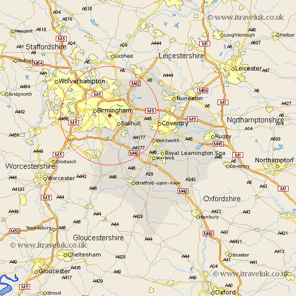
Warwickshire Map Showing Location of Tyseley
District: Birmingham
Easting: 411325 Northing: 283614
Latitude: 52.45 Longitude: -1.83
 = Tyseley
Easting: 411325 Northing: 283614
Latitude: 52.45 Longitude: -1.83
= Tyseley
This Tyseley map below is supplied by Google. Use the tools in the top left corner to zoom into street level or zoom out for a road map, you may also need to zoom in to see Tyseley on the map. Click and drag the map to move around. If the map fails to load try and refresh your browser or zoom in or out (+ or -).
Update - it seems Google no longer allow people to use their maps for free! This Tyseley map sometimes loads and sometimes gives a error. I am working on a solution.
Closest 30 Towns or Cities to Tyseley (Population over 500)
Solihull 5.02km Birmingham 5.94km Castle Bromwich 6.51km Bickenhill 7.91km Water Orton 8.76km Hampton in Arden 9.77km Knowle 10.05km Coleshill 10.6km Sutton Coldfield 13.03km Temple Balsall 13.76km Lapworth 14.15km Shustoke 14.64km Berkswell 14.66km Berkeswell 14.66km Meriden 14.8km Kingsbury 15.06km Nether Whitacre 15.49km Middleton 16.29km Ullenhall 16.72km Fillongley 17.04km Rowington 17.37km Hurley 17.52km Arley 17.82km Henley in Arden 19.08km Corley 19.2km Allesley 19.56km Coventry 19.56km Shrewley 20.15km Kenilworth 20.28km Keresley 20.42km