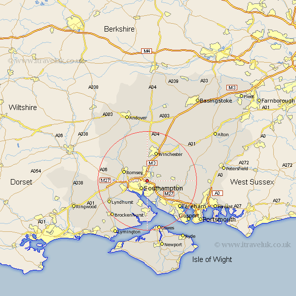
Hampshire Map Showing Location of North Stoneham
District: Winchester
Easting: 444483 Northing: 116981
Latitude: 50.95 Longitude: -1.37
 = North Stoneham
Easting: 444483 Northing: 116981
Latitude: 50.95 Longitude: -1.37
= North Stoneham
This North Stoneham map below is supplied by Google. Use the tools in the top left corner to zoom into street level or zoom out for a road map, you may also need to zoom in to see North Stoneham on the map. Click and drag the map to move around. If the map fails to load try and refresh your browser or zoom in or out (+ or -).
Update - it seems Google no longer allow people to use their maps for free! This North Stoneham map sometimes loads and sometimes gives a error. I am working on a solution.
Closest 30 Towns or Cities to North Stoneham (Population over 500)
Eastleigh 2.19km Bishopstoke 2.98km Chilworth 3.5km Southampton 4.07km West End 4.38km Itchen 5.68km Otterbourne 5.68km Hursley 7.77km Compton 7.78km Botley 7.93km Durley 8.17km Twyford 8.2km Marchwood 8.76km Owslebury 8.94km Totton 8.97km Curbridge 8.98km Curdridge 8.98km Ashurst 9.33km Upham 9.52km Hythe 9.55km Netley 9.55km Netley Marsh 9.55km Eling 9.89km Romsey 10.04km Dibden 10.38km Bursledon 10.38km Bishops Waltham 10.51km Bishop's Waltham 10.51km Locks Heath 10.95km Hample 11.66km