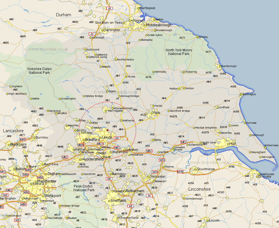
Yorkshire Map Showing Location of Moortown
District: Leeds
Easting: 431792 Northing: 439438
Latitude: 53.85 Longitude: -1.52
 = Moortown
Easting: 431792 Northing: 439438
Latitude: 53.85 Longitude: -1.52
= Moortown
This Moortown map below is supplied by Google. Use the tools in the top left corner to zoom into street level or zoom out for a road map, you may also need to zoom in to see Moortown on the map. Click and drag the map to move around. If the map fails to load try and refresh your browser or zoom in or out (+ or -).
Update - it seems Google no longer allow people to use their maps for free! This Moortown map sometimes loads and sometimes gives a error. I am working on a solution.
Closest 30 Towns or Cities to Moortown (Population over 500)
Scarcroft 4.75km Harewood 5.67km East Keswick 6.3km Thorner 6.56km Bardsey 6.6km Leeds 7.07km Bramhope 7.53km Scholes 7.53km Arthington Junction Station 7.79km Arthington 7.79km Horsforth 7.88km Weeton 8.11km Poole 8.6km Pool 8.6km Pool-in-Wharfedale 8.6km Collingham 9.46km Yeadon 10.01km Pannal 11.17km Rothwell 11.33km Swillington 11.35km Wetherby 11.46km Garforth 11.47km Bramham 11.54km Otley 12.26km Boston Spa 12.26km Pudsey 12.33km Aberford 12.59km Lofthouse 13.02km Guiseley 13.25km Micklefield 13.26km