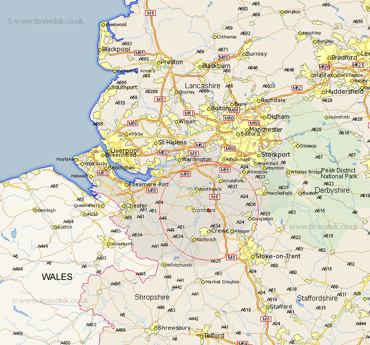
Cheshire Map Showing Location of Middlewich
Population: 9942
Area Size (ha): 331
District: Congleton
Easting: 371045 Northing: 365253
Latitude: 53.18 Longitude: -2.43
 = Middlewich
Area Size (ha): 331
District: Congleton
Easting: 371045 Northing: 365253
Latitude: 53.18 Longitude: -2.43
= Middlewich
This Middlewich map below is supplied by Google. Use the tools in the top left corner to zoom into street level or zoom out for a road map, you may also need to zoom in to see Middlewich on the map. Click and drag the map to move around. If the map fails to load try and refresh your browser or zoom in or out (+ or -).
Update - it seems Google no longer allow people to use their maps for free! This Middlewich map sometimes loads and sometimes gives a error. I am working on a solution.
Closest 30 Towns or Cities to Middlewich (Population over 500)
Middlewich 0km Middlewick 0km Holmes Chapel 4.81km Winsford 5.55km Brereton cum Smethwick 6.92km Brereton 6.92km Sandbach 7.12km Davenham 7.86km Whitegate 8.61km Goostrey 8.68km Peover Superior 9.26km Peover 9.26km Crewe 9.26km Plumley Station 9.34km Plumbley 9.34km Lostock Gralam 9.54km Hartford 9.55km Northwick 10.28km Northwich 10.28km Marston 10.28km Little Budworth 11.11km Wistaston 11.34km Anderton 11.42km Cuddington 12.41km Weaverham 12.44km Rode Heath 12.45km Alsager 12.84km Willaston 13.39km Knutsford 13.71km Nantwich 14.11km