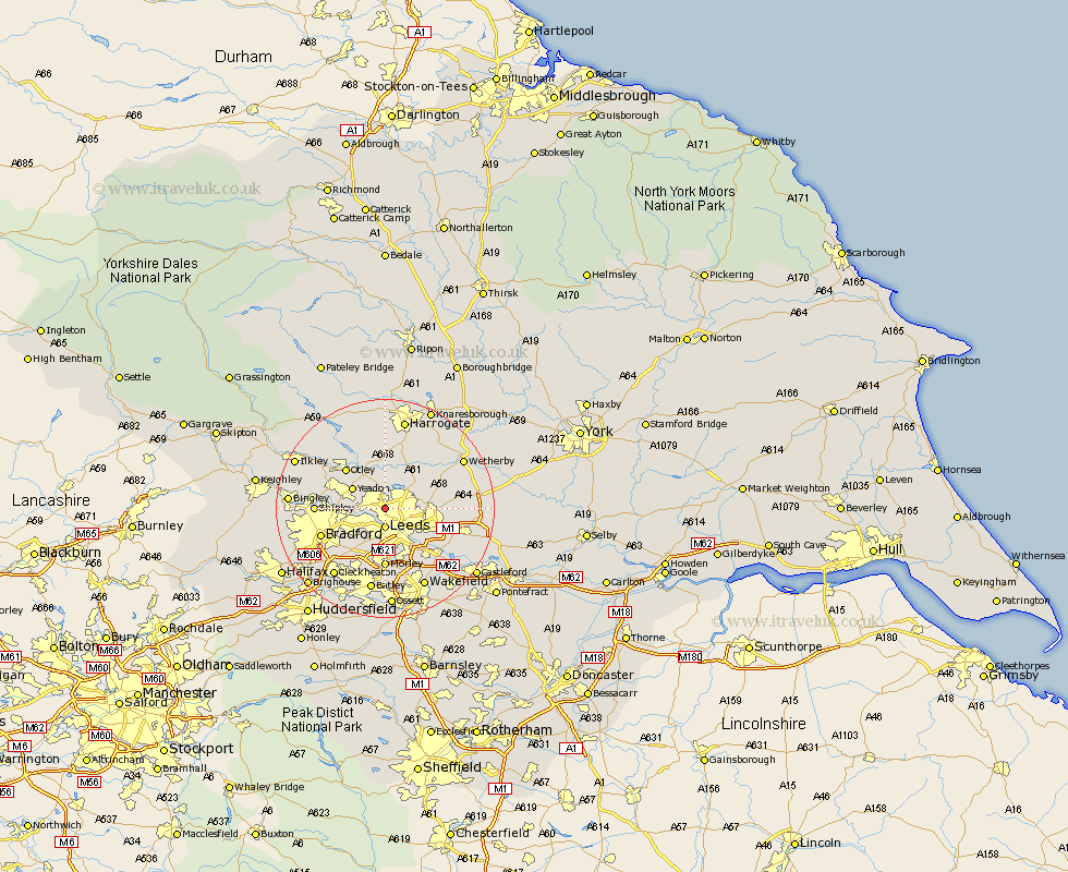
Yorkshire Map Showing Location of Meanwood
District: Leeds
Easting: 427418 Northing: 437552
Latitude: 53.83 Longitude: -1.58
 = Meanwood
Easting: 427418 Northing: 437552
Latitude: 53.83 Longitude: -1.58
= Meanwood
This Meanwood map below is supplied by Google. Use the tools in the top left corner to zoom into street level or zoom out for a road map, you may also need to zoom in to see Meanwood on the map. Click and drag the map to move around. If the map fails to load try and refresh your browser or zoom in or out (+ or -).
Update - it seems Google no longer allow people to use their maps for free! This Meanwood map sometimes loads and sometimes gives a error. I am working on a solution.
Closest 30 Towns or Cities to Meanwood (Population over 500)
Horsforth 3.28km Leeds 3.7km Bramhope 5.97km Yeadon 6.61km Arthington Junction Station 7.5km Arthington 7.5km Pool-in-Wharfedale 7.73km Poole 7.73km Pool 7.73km Pudsey 7.8km Harewood 9.21km Weeton 9.34km Scarcroft 9.5km Guiseley 9.5km Otley 9.9km East Keswick 11km Thorner 11.09km Scholes 11.09km Morley 11.12km Menston 11.3km Bardsey 11.3km Rothwell 11.35km Shipley 12.03km Baildon 12.17km Bradford 12.27km Lofthouse 12.39km Swillington 13.21km Pannal 13.38km Collingham 14.12km Garforth 14.26km