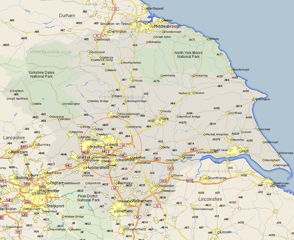
Yorkshire Map Showing Location of Hunslet
District: Leeds
Easting: 430745 Northing: 432011
Latitude: 53.78 Longitude: -1.53
 = Hunslet
Easting: 430745 Northing: 432011
Latitude: 53.78 Longitude: -1.53
= Hunslet
This Hunslet map below is supplied by Google. Use the tools in the top left corner to zoom into street level or zoom out for a road map, you may also need to zoom in to see Hunslet on the map. Click and drag the map to move around. If the map fails to load try and refresh your browser or zoom in or out (+ or -).
Update - it seems Google no longer allow people to use their maps for free! This Hunslet map sometimes loads and sometimes gives a error. I am working on a solution.
Closest 30 Towns or Cities to Hunslet (Population over 500)
Leeds 3.77km Rothwell 4.95km Lofthouse 5.98km Morley 6.46km Swillington 7.89km Scholes 8.51km Horsforth 8.6km Pudsey 8.76km Wakefield 9.83km Stanley 9.83km Garforth 9.85km Thorner 10.66km Drewsbury 10.76km Dewsbury 10.76km Scarcroft 10.77km Kippax 11.11km Batley 11.53km Normanton 12.03km Bramhope 12.39km East Keswick 12.63km Yeadon 12.75km Heckmondwike 12.76km Bardsey 12.91km Horbury 13.01km Ossett 13.15km Harewood 13.16km Micklefield 13.27km Aberford 13.65km Arthington 13.69km Arthington Junction Station 13.69km