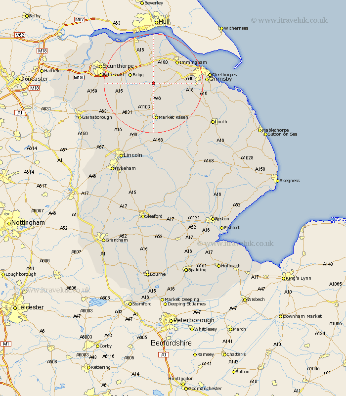
Lincolnshire Map Showing Location of Clixby
Easting: 509390 Northing: 403519
Latitude: 53.52 Longitude: -0.35
 = Clixby
Latitude: 53.52 Longitude: -0.35
= Clixby
This Clixby map below is supplied by Google. Use the tools in the top left corner to zoom into street level or zoom out for a road map, you may also need to zoom in to see Clixby on the map. Click and drag the map to move around. If the map fails to load try and refresh your browser or zoom in or out (+ or -).
Update - it seems Google no longer allow people to use their maps for free! This Clixby map sometimes loads and sometimes gives a error. I am working on a solution.
Closest 30 Towns or Cities to Clixby (Population over 500)
Nettleton 4.32km Caistor 4.32km North Kelsey 5.77km Barnetby 6.47km Barnetby le Wold 6.47km South Kelsey 7.83km Keelby 8.64km South Killingholme 9.5km Wrawby 9.5km Brigg 9.56km Ulceby 11.17km Habrough 11.38km Laceby 12.26km Scawby 12.26km Hibaldstow 12.26km Immingham 12.78km Stallingborough 13.27km Waddingham 13.29km Healing 13.33km Broughton 14.34km binbrook 14.41km Market Rasen 14.87km Middle Rasen 14.88km Waltham 16.53km Goxhill 16.72km East Halton 17.25km Kirton in Lindsey 17.45km Kirton 17.45km Appleby 18.12km Great Coates 18.48km