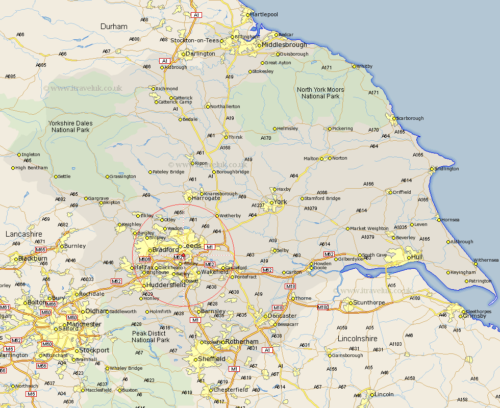
Yorkshire Map Showing Location of Beeston
District: Leeds
Easting: 428560 Northing: 430150
Latitude: 53.77 Longitude: -1.57
 = Beeston
Easting: 428560 Northing: 430150
Latitude: 53.77 Longitude: -1.57
= Beeston
This Beeston map below is supplied by Google. Use the tools in the top left corner to zoom into street level or zoom out for a road map, you may also need to zoom in to see Beeston on the map. Click and drag the map to move around. If the map fails to load try and refresh your browser or zoom in or out (+ or -).
Update - it seems Google no longer allow people to use their maps for free! This Beeston map sometimes loads and sometimes gives a error. I am working on a solution.
Closest 30 Towns or Cities to Beeston (Population over 500)
Leeds 3.86km Morley 3.87km Lofthouse 5.75km Rothwell 5.78km Pudsey 6.83km Dewsbury 8.11km Drewsbury 8.11km Horsforth 8.6km Batley 8.89km Stanley 9.22km Wakefield 9.22km Swillington 9.86km Heckmondwike 9.91km Ossett 11.12km Horbury 11.17km Scholes 11.31km Cleckheaton 11.32km Liversedge 11.49km Garforth 12.19km Bradford 12.19km Normanton 12.34km Yeadon 12.91km Kippax 13.14km Middletown 13.16km Middlestown 13.16km Bramhope 13.37km Scarcroft 13.5km Mirfield 13.51km Thorner 13.52km Guiseley 14.85km