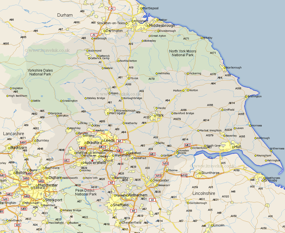
Yorkshire Map Showing Location of Mirfield
Population: 17988
Area Size (ha): 510
District: Kirklees
Easting: 420920 Northing: 418985
Latitude: 53.67 Longitude: -1.68
 = Mirfield
Area Size (ha): 510
District: Kirklees
Easting: 420920 Northing: 418985
Latitude: 53.67 Longitude: -1.68
= Mirfield
This Mirfield map below is supplied by Google. Use the tools in the top left corner to zoom into street level or zoom out for a road map, you may also need to zoom in to see Mirfield on the map. Click and drag the map to move around. If the map fails to load try and refresh your browser or zoom in or out (+ or -).
Update - it seems Google no longer allow people to use their maps for free! This Mirfield map sometimes loads and sometimes gives a error. I am working on a solution.
Closest 30 Towns or Cities to Mirfield (Population over 500)
Heckmondwike 3.86km Liversedge 3.86km Batley 5.06km Drewsbury 5.74km Dewsbury 5.74km Middlestown 5.8km Middletown 5.8km Cleckheaton 5.98km Emley 6.46km Huddersfield 6.85km Shelley 7.42km Kirkburton 7.5km Brighouse 7.55km Ossett 7.69km Horbury 8.78km Bretton 9.49km West Bretton 9.49km Shepley 9.53km Morley 9.91km Elland 10.05km Crigglestone 10.56km Honley 10.69km Denby Dale 11.17km Halifax 12.3km Cawthorne 12.93km Pudsey 13.01km Woolley 13.26km Darton 13.56km Wakefield 13.68km Stanley 13.68km