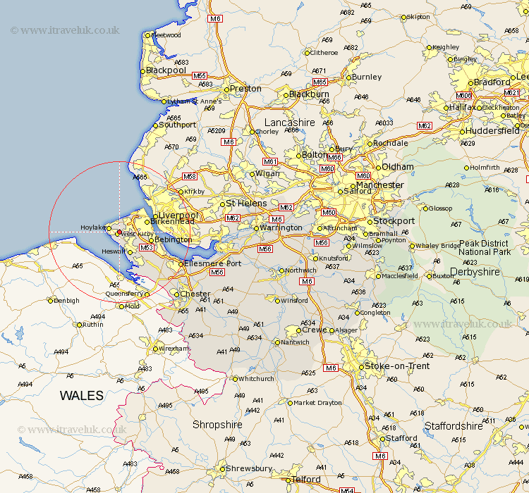
Cheshire Map Showing Location of Greasby
Population: 55256
Area Size (ha): 1196
District: Wirral
Easting: 324000 Northing: 387000
Latitude: 53.37 Longitude: -3.14
 = Greasby
Area Size (ha): 1196
District: Wirral
Easting: 324000 Northing: 387000
Latitude: 53.37 Longitude: -3.14
= Greasby
This Greasby map below is supplied by Google. Use the tools in the top left corner to zoom into street level or zoom out for a road map, you may also need to zoom in to see Greasby on the map. Click and drag the map to move around. If the map fails to load try and refresh your browser or zoom in or out (+ or -).
Update - it seems Google no longer allow people to use their maps for free! This Greasby map sometimes loads and sometimes gives a error. I am working on a solution.
Closest 30 Towns or Cities to Greasby (Population over 500)
Greasby 0km Kirby 0.96km West Kirby 0.96km Hoylake 2.9km Moreton 3.35km Heswall 6.98km Birkenhead 7.79km Wallasey 8.28km Bebington 8.77km Bebington and Bromborough 8.77km Neston 11.82km Willaston 13.84km Ellesmere Port 19.01km Saughall 21.68km Great Saughall 21.68km Mollington 21.69km Hale 23.18km Chester 24.5km Elton 25.67km Runcorn 26.44km Dunham-on-the-Hill 26.61km Dunham on the Hill 26.61km Dunham 26.61km Widnes 27.28km Helsby 27.67km Mickle Trafford 27.85km Weston 27.9km Frodsham 28.39km Christleton 29.54km Dodleston 29.68km