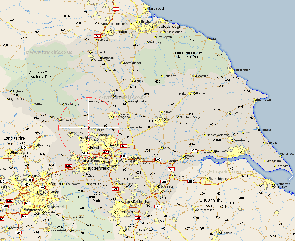
Yorkshire Map Showing Location of Burley
Population: 5448
Area Size (ha): 134
District: Bradford
Easting: 416418 Northing: 446779
Latitude: 53.92 Longitude: -1.75
 = Burley
Area Size (ha): 134
District: Bradford
Easting: 416418 Northing: 446779
Latitude: 53.92 Longitude: -1.75
= Burley
This Burley map below is supplied by Google. Use the tools in the top left corner to zoom into street level or zoom out for a road map, you may also need to zoom in to see Burley on the map. Click and drag the map to move around. If the map fails to load try and refresh your browser or zoom in or out (+ or -).
Update - it seems Google no longer allow people to use their maps for free! This Burley map sometimes loads and sometimes gives a error. I am working on a solution.
Closest 30 Towns or Cities to Burley (Population over 500)
Burley in Wharfedale 0km Burley 0km Menston 3.87km Ilkley 4.37km Otley 4.75km Guiseley 5.97km Baildon 7.5km Yeadon 7.79km Addingham 8.92km Pool 8.93km Poole 8.93km Pool-in-Wharfedale 8.93km Bingley 9.21km Shipley 9.34km Bramhope 9.49km Arthington 10km Arthington Junction Station 10km Keighley 11.53km Weeton 12.01km Horsforth 12.02km Silsden 12.15km Darley 13.37km Wilsden 13.5km Steeton 13.62km Pannal 14.66km Hampsthwaite 14.83km Bradford 14.83km Cullingworth 14.84km Dacre 14.98km Birstwith 15.63km