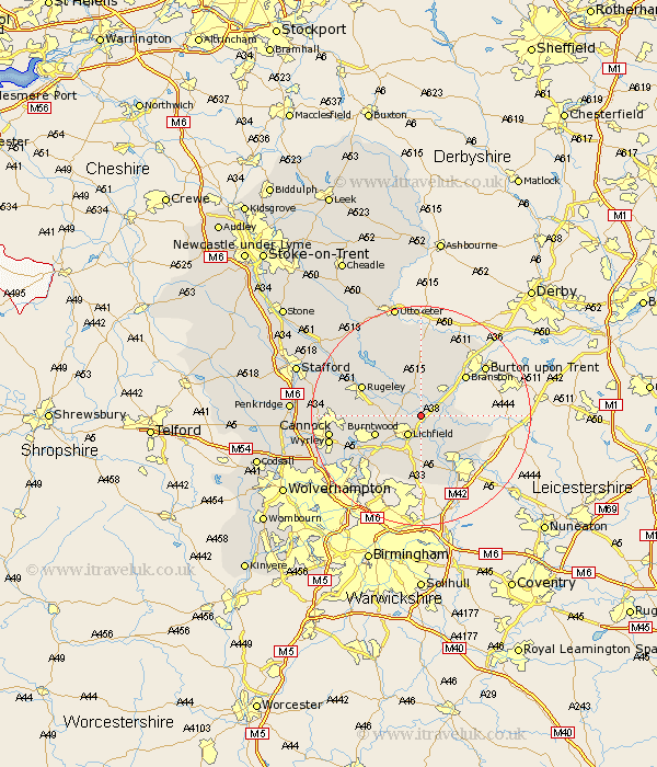
Staffordshire Map Showing Location of Coventry Canal
District: Lichfield
Easting: 414634 Northing: 313287
Latitude: 52.72 Longitude: -1.78
 = Coventry Canal
Easting: 414634 Northing: 313287
Latitude: 52.72 Longitude: -1.78
= Coventry Canal
This Coventry Canal map below is supplied by Google. Use the tools in the top left corner to zoom into street level or zoom out for a road map, you may also need to zoom in to see Coventry Canal on the map. Click and drag the map to move around. If the map fails to load try and refresh your browser or zoom in or out (+ or -).
Update - it seems Google no longer allow people to use their maps for free! This Coventry Canal map sometimes loads and sometimes gives a error. I am working on a solution.
Closest 30 Towns or Cities to Coventry Canal (Population over 500)
Alrewas 3.37km Yoxall 3.7km Whittington 3.88km Lichfield 4.34km Elford 5.83km Longdon 6.74km Armitage 6.98km Edingale 6.99km Burntwood 8.69km Tatenhill 9.29km Shenstone 9.87km Wigginton 10.02km Hammerwich 10.02km Colton 10.56km Branston 10.79km Rugeley 11.53km Clifton Campville 11.83km Fazeley 12.46km Norton Canes 12.9km Abbots Bromley 12.99km Anslow 13km Tamworth 13km Hanbury 13.39km Brownhills 13.72km Drayton Bassett 13.73km Hednesford 14.71km Colwich 15.36km Rolleston 15.76km Aldridge 15.79km Pelsall 15.81km