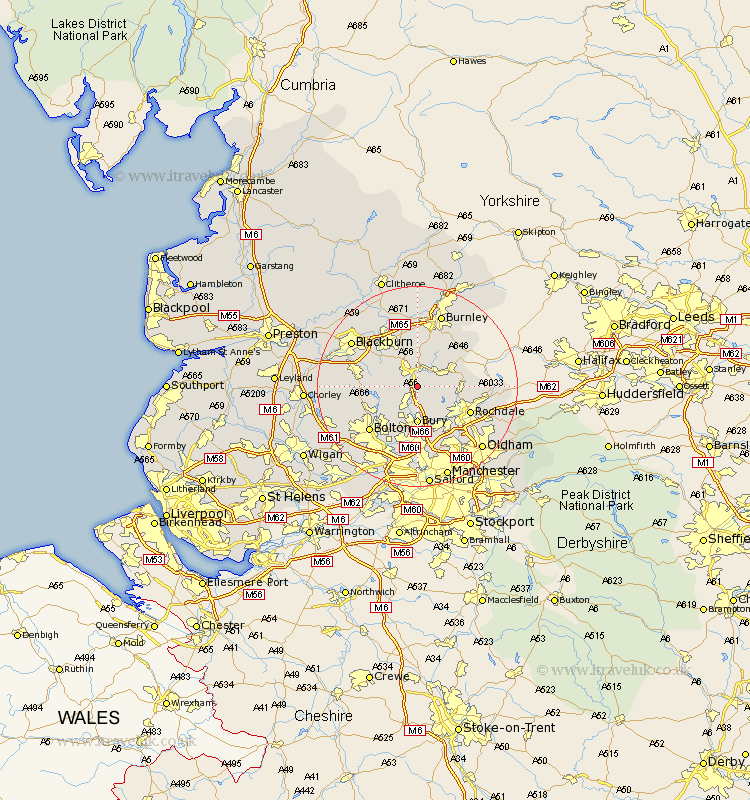
Lancashire Map Showing Location of Edenfield
Population: 2610
Area Size (ha): 44
District: Rossendale
Easting: 380180 Northing: 418980
Latitude: 53.67 Longitude: -2.3
 = Edenfield
Area Size (ha): 44
District: Rossendale
Easting: 380180 Northing: 418980
Latitude: 53.67 Longitude: -2.3
= Edenfield
This Edenfield map below is supplied by Google. Use the tools in the top left corner to zoom into street level or zoom out for a road map, you may also need to zoom in to see Edenfield on the map. Click and drag the map to move around. If the map fails to load try and refresh your browser or zoom in or out (+ or -).
Update - it seems Google no longer allow people to use their maps for free! This Edenfield map sometimes loads and sometimes gives a error. I am working on a solution.
Closest 30 Towns or Cities to Edenfield (Population over 500)
Rawtenstall 3.86km Ramsbottom 3.87km Haslingden 4.3km Bury 7.42km Turton 7.57km Tottington 7.74km Whitworth 7.91km Bacup 8.53km Oswaldtwistle 9.91km Bromley Cross 9.92km Bradshaw 9.92km Church 10.76km Heywood 10.78km Wardle 11.14km Rochdale 11.34km Darwen 11.58km Accrington 11.6km Rishton 12.03km Clayton-le-Moors 12.4km Clayton le Moor 12.4km Clayton le Moors 12.4km Bolton 12.78km Whitefield 12.98km Hapton 13.01km Padiham 13.01km Altham 13.15km Radcliffe 13.16km Simonstone 13.38km Littleborough 13.69km Little Lever 13.7km