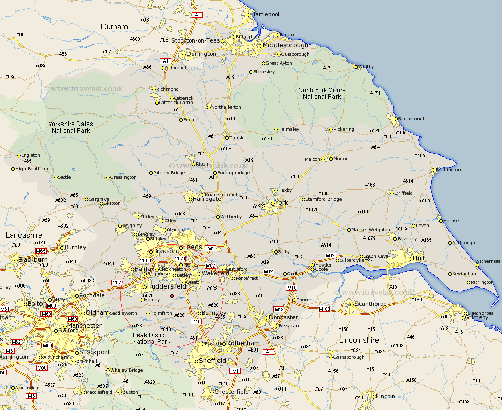
Yorkshire Map Showing Location of Emley
Population: 1951
Area Size (ha): 31
District: Kirklees
Easting: 424252 Northing: 413439
Latitude: 53.62 Longitude: -1.63
 = Emley
Area Size (ha): 31
District: Kirklees
Easting: 424252 Northing: 413439
Latitude: 53.62 Longitude: -1.63
= Emley
This Emley map below is supplied by Google. Use the tools in the top left corner to zoom into street level or zoom out for a road map, you may also need to zoom in to see Emley on the map. Click and drag the map to move around. If the map fails to load try and refresh your browser or zoom in or out (+ or -).
Update - it seems Google no longer allow people to use their maps for free! This Emley map sometimes loads and sometimes gives a error. I am working on a solution.
Closest 30 Towns or Cities to Emley (Population over 500)
Shelley 3.78km Middlestown 4.31km Middletown 4.31km Bretton 4.4km West Bretton 4.4km Kirkburton 4.77km Denby Dale 5.98km Mirfield 6.46km Cawthorne 6.47km Shepley 6.64km Crigglestone 6.85km Ossett 7.09km Darton 7.57km Horbury 7.82km Woolley 7.92km Batley 8.59km Dewsbury 9.33km Drewsbury 9.33km Heckmondwike 9.52km Notton 10.07km Liversedge 10.25km Silkstone 10.27km Huddersfield 10.56km Honley 11.15km Penistone 11.17km Dodworth 11.38km Holmfirth 11.51km Royston 12.24km Barnsley 12.37km Cleckheaton 12.4km