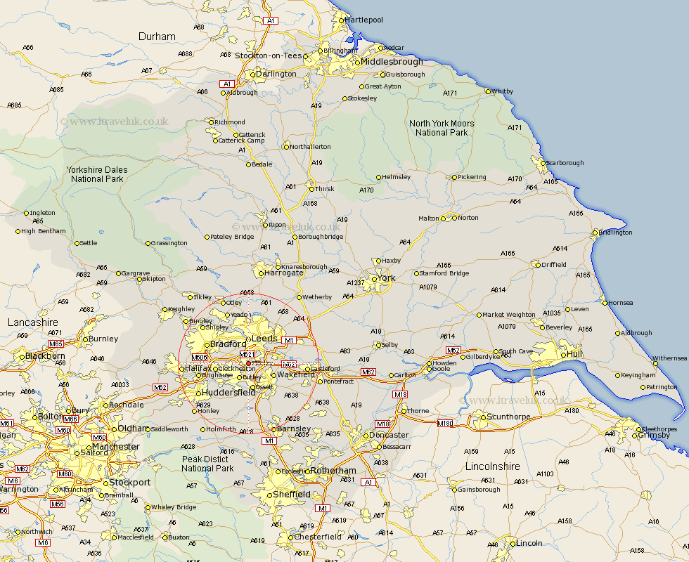
Yorkshire Map Showing Location of Morley
Population: 46617
Area Size (ha): 1159
District: Leeds
Easting: 427484 Northing: 426428
Latitude: 53.73 Longitude: -1.58
 = Morley
Area Size (ha): 1159
District: Leeds
Easting: 427484 Northing: 426428
Latitude: 53.73 Longitude: -1.58
= Morley
This Morley map below is supplied by Google. Use the tools in the top left corner to zoom into street level or zoom out for a road map, you may also need to zoom in to see Morley on the map. Click and drag the map to move around. If the map fails to load try and refresh your browser or zoom in or out (+ or -).
Update - it seems Google no longer allow people to use their maps for free! This Morley map sometimes loads and sometimes gives a error. I am working on a solution.
Closest 30 Towns or Cities to Morley (Population over 500)
Drewsbury 4.3km Dewsbury 4.3km Batley 5.07km Lofthouse 5.48km Heckmondwike 6.62km Rothwell 6.83km Leeds 7.42km Ossett 7.49km Stanley 7.55km Wakefield 7.55km Horbury 7.72km Pudsey 7.81km Liversedge 8.52km Cleckheaton 8.96km Middlestown 9.33km Middletown 9.33km Mirfield 9.91km Swillington 11.57km Normanton 11.57km Horsforth 11.59km Crigglestone 11.6km Bradford 12.29km Bretton 13.01km West Bretton 13.01km Emley 13.38km Brighouse 13.67km Garforth 14.27km Scholes 14.35km Crofton 14.36km Kippax 14.72km