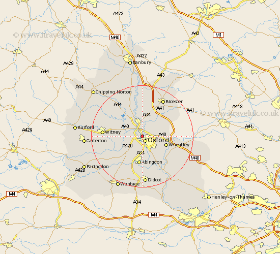
Oxfordshire Map Showing Location of Summertown
District: Oxford
Easting: 450599 Northing: 207862
Latitude: 51.77 Longitude: -1.27
 = Summertown
Easting: 450599 Northing: 207862
Latitude: 51.77 Longitude: -1.27
= Summertown
This Summertown map below is supplied by Google. Use the tools in the top left corner to zoom into street level or zoom out for a road map, you may also need to zoom in to see Summertown on the map. Click and drag the map to move around. If the map fails to load try and refresh your browser or zoom in or out (+ or -).
Update - it seems Google no longer allow people to use their maps for free! This Summertown map sometimes loads and sometimes gives a error. I am working on a solution.
Closest 30 Towns or Cities to Summertown (Population over 500)
Oxford 2.18km North Hinksey 3.89km Yarnton 4.36km Kidlington 5.68km Islip 6.01km Cassington 6.02km Beckley 6.02km Littlemore 6.54km Cumnor 7.21km Wootton 7.76km Bladon 7.98km Eynsham 8.03km Ensham 8.03km Hanborough 8.84km Church Handborough 8.84km Bletchingdon 9.26km Sunningwell 9.34km Radley 9.55km Woodstock 9.88km Stanton Harcourt 9.9km Wheatley 9.9km Cuddesdon 10.73km Garsington 10.93km Kirtlington 11.12km Abingdon-on-Thames 11.18km Abingdon 11.18km Abingdon on Thames 11.18km Tackley 11.64km Standlake 11.73km North Leigh 12.05km