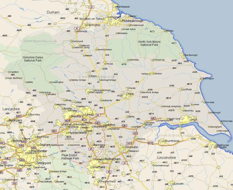
Yorkshire Map Showing Location of Clayton
District: Kirklees
Easting: 425364 Northing: 411587
Latitude: 53.6 Longitude: -1.62
 = Clayton
Easting: 425364 Northing: 411587
Latitude: 53.6 Longitude: -1.62
= Clayton
This Clayton map below is supplied by Google. Use the tools in the top left corner to zoom into street level or zoom out for a road map, you may also need to zoom in to see Clayton on the map. Click and drag the map to move around. If the map fails to load try and refresh your browser or zoom in or out (+ or -).
Update - it seems Google no longer allow people to use their maps for free! This Clayton map sometimes loads and sometimes gives a error. I am working on a solution.
Closest 30 Towns or Cities to Clayton (Population over 500)
Emley 2.16km West Bretton 3.79km Bretton 3.79km Cawthorne 4.31km Shelley 4.4km Denby Dale 4.96km Kirkburton 5.5km Middletown 5.67km Middlestown 5.67km Darton 5.8km Woolley 6.6km Crigglestone 6.63km Shepley 6.86km Ossett 8.12km Silkstone 8.12km Mirfield 8.62km Horbury 8.62km Notton 8.8km Dodworth 9.24km Penistone 9.26km Barnsley 10.41km Batley 10.41km Royston 11km Dewsbury 11.12km Drewsbury 11.12km Holmfirth 11.36km Heckmondwike 11.6km Honley 12.1km Ryhill 12.24km Huddersfield 12.32km