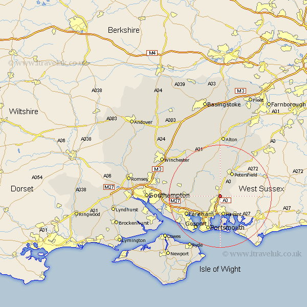
Hampshire Map Showing Location of Catherington
District: East Hampshire
Easting: 470287 Northing: 113563
Latitude: 50.92 Longitude: -1
 = Catherington
Easting: 470287 Northing: 113563
Latitude: 50.92 Longitude: -1
= Catherington
This Catherington map below is supplied by Google. Use the tools in the top left corner to zoom into street level or zoom out for a road map, you may also need to zoom in to see Catherington on the map. Click and drag the map to move around. If the map fails to load try and refresh your browser or zoom in or out (+ or -).
Update - it seems Google no longer allow people to use their maps for free! This Catherington map sometimes loads and sometimes gives a error. I am working on a solution.
Closest 30 Towns or Cities to Catherington (Population over 500)
Horndean 1.17km Clanfield 1.85km Hambledon 4.67km Rowlands Castle 5.11km Waterlooville 5.68km Waterloo 5.68km Buriton 6.57km Havant 7.51km East Meon 7.76km Emsworth 8.77km Soberton 9.53km Southwick 9.89km Droxford 10.05km Petersfield 10.37km Corhampton 10.87km Froxfield 11.12km Swanmore 11.83km Wickham 11.83km Steep 12.06km Porchester 12.37km Portchester 12.37km West Meon 12.56km Shidfield 12.85km Shedfield 12.85km Waltham Chase 14.02km Portsmouth 14.11km Liss 14.73km Fareham 14.85km Bramdean 15.32km Southsea 15.55km