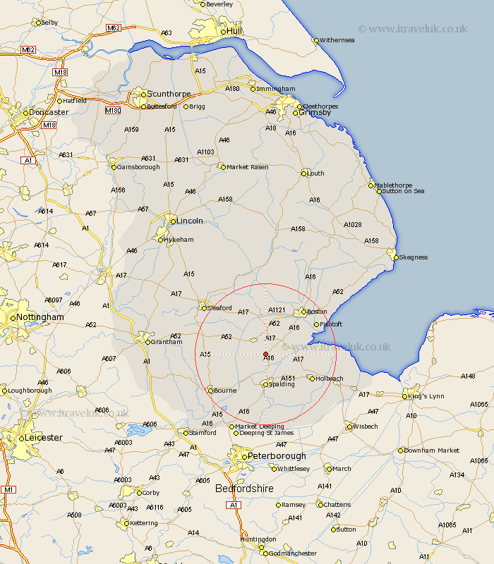
Lincolnshire Map Showing Location of Parts Of Holland
District: Boston
Easting: 523396 Northing: 331523
Latitude: 52.87 Longitude: -0.17
 = Parts Of Holland
Easting: 523396 Northing: 331523
Latitude: 52.87 Longitude: -0.17
= Parts Of Holland
This Parts Of Holland map below is supplied by Google. Use the tools in the top left corner to zoom into street level or zoom out for a road map, you may also need to zoom in to see Parts Of Holland on the map. Click and drag the map to move around. If the map fails to load try and refresh your browser or zoom in or out (+ or -).
Update - it seems Google no longer allow people to use their maps for free! This Parts Of Holland map sometimes loads and sometimes gives a error. I am working on a solution.
Closest 30 Towns or Cities to Parts Of Holland (Population over 500)
Gosberton 2.17km Donington 4.33km Surfleet 4.34km Bicker 5.56km Sutterton 6.71km Swineshead 7.49km Pinchbeck 7.5km Spalding 9.27km Kirton 9.6km Weston 10.01km Billingborough 11.34km Pointon 11.34km Frampton 11.5km Helpringham 11.61km Great Hale 12.12km Hale 12.12km Moulton 12.14km Wyberton 12.49km Whaplode 12.89km Heckington 13.6km Brothertoft 13.71km Holbeach 14.38km Rippingale 14.54km Cowbit 15.21km Folkingham 15.66km Fishtoft 16.3km Morton 16.33km Boston 16.41km Deeping St. Nicholas 16.83km Deeping Saint Nicholas 16.83km