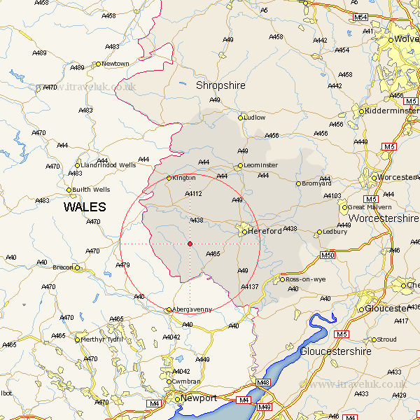
Herefordshire Map Showing Location of Golden Valley
Easting: 335957 Northing: 235822
Latitude: 52.02 Longitude: -2.93
 = Golden Valley
Latitude: 52.02 Longitude: -2.93
= Golden Valley
This Golden Valley map below is supplied by Google. Use the tools in the top left corner to zoom into street level or zoom out for a road map, you may also need to zoom in to see Golden Valley on the map. Click and drag the map to move around. If the map fails to load try and refresh your browser or zoom in or out (+ or -).
Update - it seems Google no longer allow people to use their maps for free! This Golden Valley map sometimes loads and sometimes gives a error. I am working on a solution.
Closest 30 Towns or Cities to Golden Valley (Population over 500)
Peterchurch 2.17km Madley 5.99km Kingstone 6.84km Ewyas Harold 8.17km Allensmore 10.26km Credenhill 12.99km Much Dewchurch 13.09km Eardisley 13.74km Burghill 14.68km Clifford 14.68km Bullingham 14.94km Almeley 15.21km Hereford 15.28km Much Birch 15.84km Moreton 16.51km Moreton on Lugg 16.51km Moreton-on-Lugg 16.51km Weobley 17.29km Wellington 18.03km Dilwyn 19.08km Broad Oak 19.44km Sutton 19.44km Lugwardine 20.16km Lyonshall 20.67km Mordiford 20.85km Kington 21.16km Pembridge 22.35km Withington 22.5km Bodenham 22.62km Fownhope 22.89km