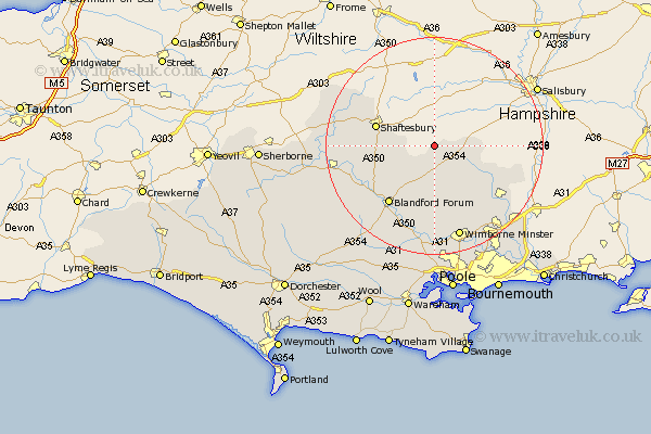
Dorset Map Showing Location of Cranborne Chase
District: North Dorset
Easting: 396489 Northing: 118648
Latitude: 50.97 Longitude: -2.05
 = Cranborne Chase
Easting: 396489 Northing: 118648
Latitude: 50.97 Longitude: -2.05
= Cranborne Chase
This Cranborne Chase map below is supplied by Google. Use the tools in the top left corner to zoom into street level or zoom out for a road map, you may also need to zoom in to see Cranborne Chase on the map. Click and drag the map to move around. If the map fails to load try and refresh your browser or zoom in or out (+ or -).
Update - it seems Google no longer allow people to use their maps for free! This Cranborne Chase map sometimes loads and sometimes gives a error. I am working on a solution.
Closest 30 Towns or Cities to Cranborne Chase (Population over 500)
Handley 3.96km Charlton 6.12km Fontmell Magna 9.52km Iwerne Minster 10.05km Pimperne 10.96km Shaftesbury 11.13km Tarrant Monkton 11.36km Cranborne 11.93km Motcombe 12.92km Blandford 13.8km Blandford Forum 13.8km Child Okeford 14km Stourpaine 14.02km Horton 14.75km Shillingstone 15.86km Alderholt 16.17km Stour Provost 16.44km East Stour 16.75km Stour 16.75km Gillingham 16.87km Verwood 16.99km Sturminster Newton 17.27km Spetisbury 17.32km Wimborne 18.04km Wimborne Minster 18.04km Marnhull 18.67km Winterborne Stickland 19.63km Stickland Winterborne 19.63km West Moors 19.72km St Leonards 20.41km