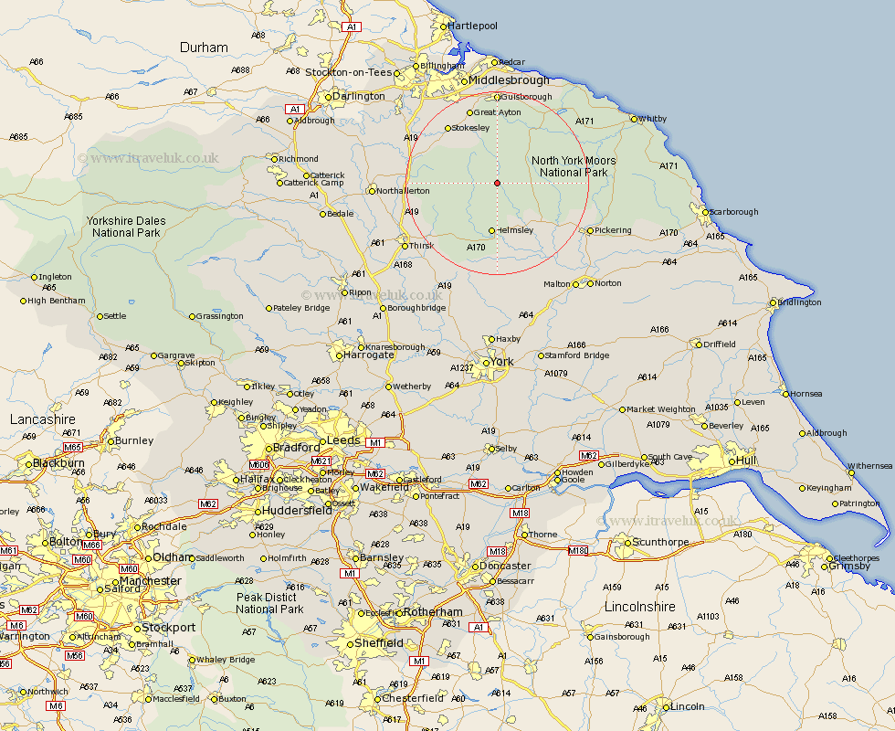
Yorkshire Map Showing Location of Bransdale
District: Ryedale
Easting: 461741 Northing: 495372
Latitude: 54.35 Longitude: -1.05
 = Bransdale
Easting: 461741 Northing: 495372
Latitude: 54.35 Longitude: -1.05
= Bransdale
This Bransdale map below is supplied by Google. Use the tools in the top left corner to zoom into street level or zoom out for a road map, you may also need to zoom in to see Bransdale on the map. Click and drag the map to move around. If the map fails to load try and refresh your browser or zoom in or out (+ or -).
Update - it seems Google no longer allow people to use their maps for free! This Bransdale map sometimes loads and sometimes gives a error. I am working on a solution.
Closest 30 Towns or Cities to Bransdale (Population over 500)
Ingleby 9.81km Helmsley 11.17km Kirby Moorside 11.96km Kirkby Moorside 11.96km Great Broughton 13.44km Nawton 13.68km Whorlton 14.92km Stokesley 16.21km Osmotherley 16.3km Seamer 16.87km Ampleforth 17.23km Great Ayton 17.53km Middleton 19.1km Middleton upon Leven 19.1km Guisborough 20.38km Pickering 21.49km Eston 22.47km Skelton 22.65km Skelton-in-Cleveland 22.65km Thirsk 23.62km Brompton 23.76km Slingsby 23.87km Loftus 24.71km Northallerton 24.92km Middlebrough 24.94km Middlesbrough 24.94km Middlesborough 24.94km South Bank 24.95km South Bank-on-Tees 24.95km South Bank on Tees 24.95km