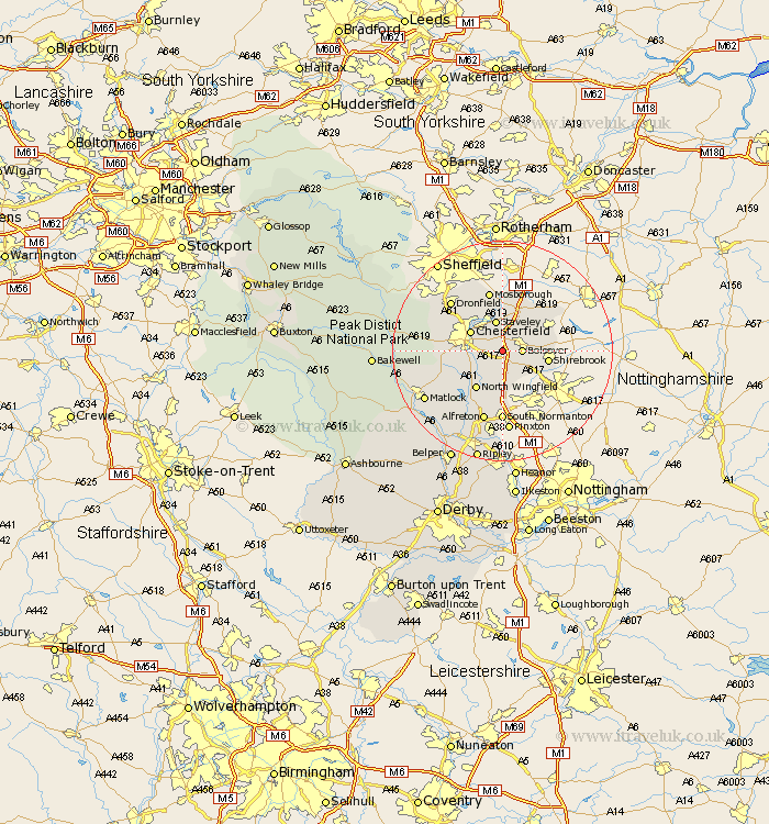
Derbyshire Map Showing Location of Sutton
District: North East Derbyshire
Easting: 444511 Northing: 369088
Latitude: 53.22 Longitude: -1.33
 = Sutton
Easting: 444511 Northing: 369088
Latitude: 53.22 Longitude: -1.33
= Sutton
This Sutton map below is supplied by Google. Use the tools in the top left corner to zoom into street level or zoom out for a road map, you may also need to zoom in to see Sutton on the map. Click and drag the map to move around. If the map fails to load try and refresh your browser or zoom in or out (+ or -).
Update - it seems Google no longer allow people to use their maps for free! This Sutton map sometimes loads and sometimes gives a error. I am working on a solution.
Closest 30 Towns or Cities to Sutton (Population over 500)
Heath 1.86km Bolsover 3.33km Ault Hucknall 4.33km Staveley 5.67km Brimington 5.78km Chesterfield 6.67km Elmton 6.67km Wingerworth 6.91km Pilsley 7.74km Clowne 7.85km Shirebrook 7.99km Barlborough 8.12km North Wingfield 8.39km Cresswell 8.6km Creswell 8.6km Walton 8.88km Clay Cross 9.27km Tibshelf 9.27km Eckington 9.52km Morton 9.85km Unstone 9.95km Whitwell 10.73km Stretton 10.81km Blackwell 11.12km Killamarsh 11.17km Brampton 11.25km Old Brampton 11.25km Mosborough 11.34km Mosbrough 11.34km Barlow 11.43km