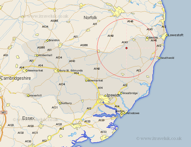
Suffolk Map Showing Location of Saint Cross
District: Waveney
Easting: 629002 Northing: 283373
Latitude: 52.4 Longitude: 1.37
 = Saint Cross
Easting: 629002 Northing: 283373
Latitude: 52.4 Longitude: 1.37
= Saint Cross
This Saint Cross map below is supplied by Google. Use the tools in the top left corner to zoom into street level or zoom out for a road map, you may also need to zoom in to see Saint Cross on the map. Click and drag the map to move around. If the map fails to load try and refresh your browser or zoom in or out (+ or -).
Update - it seems Google no longer allow people to use their maps for free! This Saint Cross map sometimes loads and sometimes gives a error. I am working on a solution.
Closest 30 Towns or Cities to Saint Cross (Population over 500)
Fressingfield 7.17km Bungay 7.93km Halesworth 10.62km Cookley 10.85km Laxfield 11.12km Stradbroke 11.49km Holton 12.6km Hoxne 12.61km Beccles 15.45km Dennington 15.5km Wenhaston 15.52km Worlingham 15.71km Worlingworth 16.81km Eye 17.39km Wangford 17.86km Yoxford 17.99km Thorndon 20.49km Framlingham 20.51km Reydon 21.11km Wrentham 21.57km Wortham 22.2km Saxmundham 22.31km Southwold 22.74km Carlton Colville 23.28km Kessingland 23.81km Debenham 23.89km Gisleham 24.02km Gislingham 24.21km Botesdale 24.89km Redgrave 25.16km