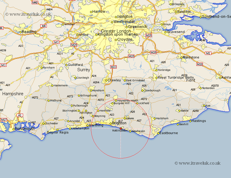
Sussex Map Showing Location of Saltdean
Population: 21714
Area Size (ha): 549
District: Lewes
Easting: 537000 Northing: 102000
Latitude: 50.8 Longitude: -0.06
 = Saltdean
Area Size (ha): 549
District: Lewes
Easting: 537000 Northing: 102000
Latitude: 50.8 Longitude: -0.06
= Saltdean
This Saltdean map below is supplied by Google. Use the tools in the top left corner to zoom into street level or zoom out for a road map, you may also need to zoom in to see Saltdean on the map. Click and drag the map to move around. If the map fails to load try and refresh your browser or zoom in or out (+ or -).
Update - it seems Google no longer allow people to use their maps for free! This Saltdean map sometimes loads and sometimes gives a error. I am working on a solution.
Closest 30 Towns or Cities to Saltdean (Population over 500)
Rottingdean 0.41km Kingston near Lewes 6.12km Kingston 6.12km Newhaven 6.55km Brighton 7.55km Lewes 7.82km Plumpton 9.18km Hove 9.67km Seaford 11.58km Southwick 11.88km Portslade 11.88km Ringmer 12.57km Barcombe Mills Station 12.68km Shoreham 13km Shoreham-by-Sea 13km Shoreham by Sea 13km New Shoreham 13km Ditchling 13.26km Ditchelling 13.26km Keymer 13.99km Hassocks 13.99km Alfriston 14.45km Hurstpierpoint 15.06km Chalvington 15.45km Laughton 16.13km Wivelsfield 16.71km Isfield 17.05km Albourne 17.25km Chailey 17.35km Friston 18.84km