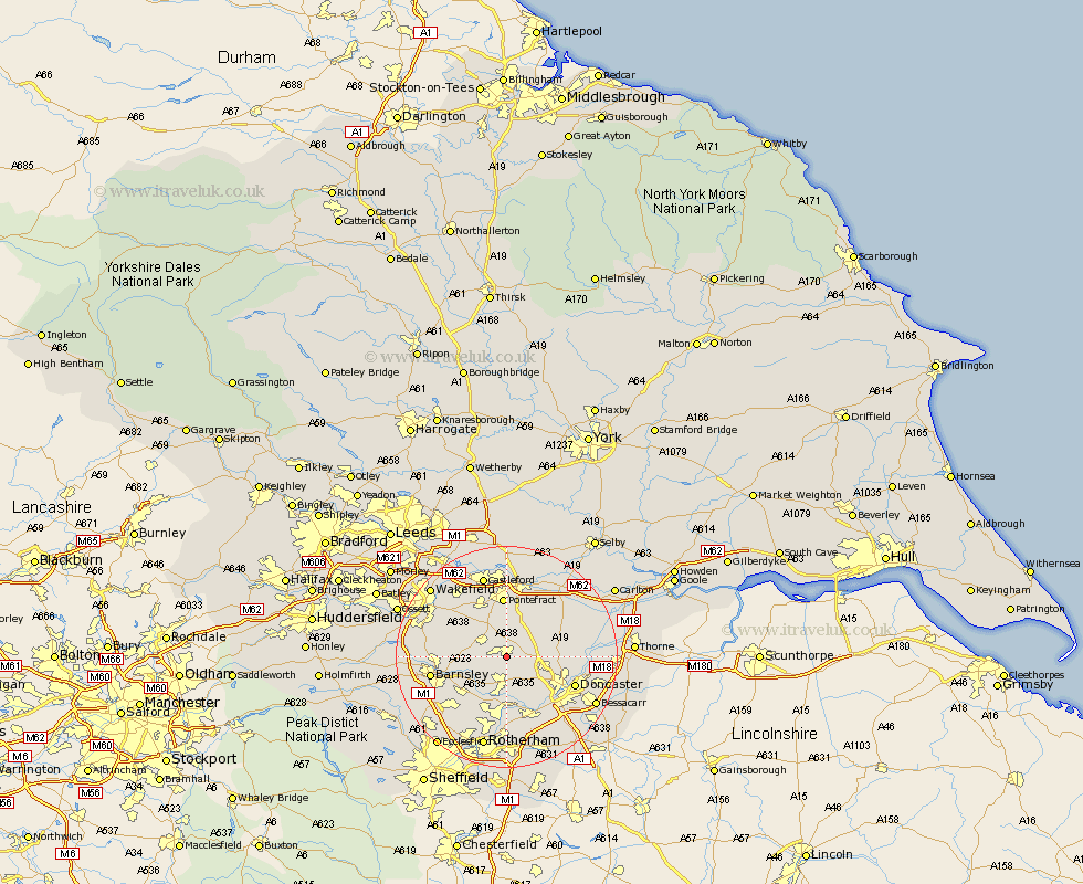
Yorkshire Map Showing Location of South Kirkby
Population: 17997
Area Size (ha): 473
District: Wakefield
Easting: 447000 Northing: 410000
Latitude: 53.58 Longitude: -1.29
 = South Kirkby
Area Size (ha): 473
District: Wakefield
Easting: 447000 Northing: 410000
Latitude: 53.58 Longitude: -1.29
= South Kirkby
This South Kirkby map below is supplied by Google. Use the tools in the top left corner to zoom into street level or zoom out for a road map, you may also need to zoom in to see South Kirkby on the map. Click and drag the map to move around. If the map fails to load try and refresh your browser or zoom in or out (+ or -).
Update - it seems Google no longer allow people to use their maps for free! This South Kirkby map sometimes loads and sometimes gives a error. I am working on a solution.
Closest 30 Towns or Cities to South Kirkby (Population over 500)
South Elmsall 0.45km Moorthorpe 0.67km Upton 3.64km Badsworth 3.67km Brodsworth 4.11km Hemsworth 4.33km North Elmsall 4.47km Houghton 5.5km Great Houghton 5.5km Dearne 5.7km Little Houghton 6.34km Adwick le Street 7.3km Carcroft 7.3km High Ackworth 7.85km Ackworth 7.85km Ackworth Moor Top 7.85km Campsall 7.91km Fitzwilliam 8.23km Sutton 8.32km Shafton 8.37km Darsfield 8.37km Darfield 8.37km Cudworth 8.59km Norton 8.9km Darrington 9.54km Ryhill 10.13km Wath-on-Dearne 10.17km Wath on Dearne 10.17km Wath 10.17km Wath upon Dearne 10.17km