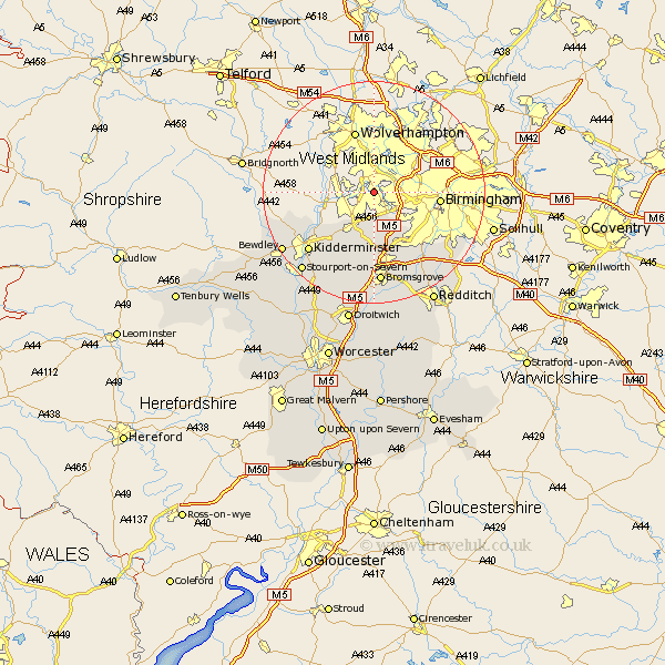
Worcestershire Map Showing Location of Netherton
Population: 2356
Area Size (ha): 44
District: Dudley
Easting: 394341 Northing: 287308
Latitude: 52.48 Longitude: -2.08
 = Netherton
Area Size (ha): 44
District: Dudley
Easting: 394341 Northing: 287308
Latitude: 52.48 Longitude: -2.08
= Netherton
This Netherton map below is supplied by Google. Use the tools in the top left corner to zoom into street level or zoom out for a road map, you may also need to zoom in to see Netherton on the map. Click and drag the map to move around. If the map fails to load try and refresh your browser or zoom in or out (+ or -).
Update - it seems Google no longer allow people to use their maps for free! This Netherton map sometimes loads and sometimes gives a error. I am working on a solution.
Closest 30 Towns or Cities to Netherton (Population over 500)
Stourbridge 3.86km Halesowen 4.34km Oldbury 4.88km Hagley 6km Romsley 7.74km Clent 7.74km Belbroughton 9.53km Churchill 10.04km Lickey End 13.16km Lickey 13.16km Cofton Hackett 14.63km Coston Hackett 14.63km Great Dodford 14.86km Dodford 14.86km Stone 15.19km Kidderminster 15.85km Chaddesley Corbett 15.86km Barnt Green 16.3km Bromsgrove 16.72km Upper Arley 18.9km Arley 18.9km Alvechurch 18.97km Bewdley 19.34km Stourport-on-Severn 19.35km Stourport 19.35km Stourport on Severn 19.35km Hartlebury 19.54km Stoke Prior 20.41km Beoley 22.31km Redditch 22.78km