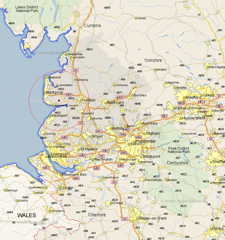
Lancashire Map Showing Location of Wrea Green
District: Fylde
Easting: 339583 Northing: 430453
Latitude: 53.77 Longitude: -2.92
 = Wrea Green
Easting: 339583 Northing: 430453
Latitude: 53.77 Longitude: -2.92
= Wrea Green
This Wrea Green map below is supplied by Google. Use the tools in the top left corner to zoom into street level or zoom out for a road map, you may also need to zoom in to see Wrea Green on the map. Click and drag the map to move around. If the map fails to load try and refresh your browser or zoom in or out (+ or -).
Update - it seems Google no longer allow people to use their maps for free! This Wrea Green map sometimes loads and sometimes gives a error. I am working on a solution.
Closest 30 Towns or Cities to Wrea Green (Population over 500)
Plumpton 2.15km Warton 2.19km Kirkham 3.77km Freckleton 3.78km Lytham St. Anne's 4.96km Lytham St Anne's 4.96km Lytham Saint Anne's 4.96km Lytham 4.96km Great Singleton 7.49km Singleton 7.49km Lea 7.67km Lea Town 7.67km Elswick 7.72km Poulton 8.6km Poulton le Fylde 8.6km Inskip 9.21km Banks 9.27km Longton 9.48km Great Eccleston 9.83km Eccleston 9.83km Blackpool 10.37km Hutton 10.54km Hoole 10.67km Much Hoole 10.67km Hambleton 11.17km Woodplumpton 11.56km Penwortham 12.2km Southport 12.4km Tarleton 12.4km Thornton 12.91km