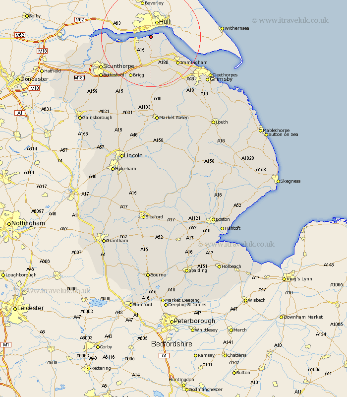
Lincolnshire Map Showing Location of New Holland
Population: 955
Easting: 507817 Northing: 423882
Latitude: 53.7 Longitude: -0.37
 = New Holland
Easting: 507817 Northing: 423882
Latitude: 53.7 Longitude: -0.37
= New Holland
This New Holland map below is supplied by Google. Use the tools in the top left corner to zoom into street level or zoom out for a road map, you may also need to zoom in to see New Holland on the map. Click and drag the map to move around. If the map fails to load try and refresh your browser or zoom in or out (+ or -).
Update - it seems Google no longer allow people to use their maps for free! This New Holland map sometimes loads and sometimes gives a error. I am working on a solution.
Closest 30 Towns or Cities to New Holland (Population over 500)
Barrow on Humber 2.16km Barrow-upon-Humber 2.16km Barrow-on-Humber 2.16km Barrow 2.16km Barrow upon Humber 2.16km Goxhill 4.3km East Halton 6.62km Ulceby 9.52km South Ferriby 9.53km Habrough 13.52km Immingham 14.88km Barnetby 14.99km Barnetby le Wold 14.99km Winteringham 15.48km Appleby 16.11km Wrawby 16.22km Winterton 16.34km Keelby 16.7km South Killingholme 17.23km Stallingborough 17.73km Brigg 18.37km Broughton 19.13km Healing 19.84km Scawby 21.55km Burton upon Stather 21.59km Burton 21.59km Scunthorpe 22.74km Laceby 22.75km Flixborough 22.83km Great Coates 23.85km