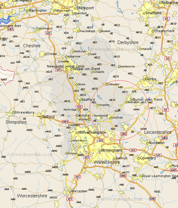
Staffordshire Map Showing Location of Wichnor
District: Lichfield
Easting: 418004 Northing: 315144
Latitude: 52.73 Longitude: -1.73
 = Wichnor
Easting: 418004 Northing: 315144
Latitude: 52.73 Longitude: -1.73
= Wichnor
This Wichnor map below is supplied by Google. Use the tools in the top left corner to zoom into street level or zoom out for a road map, you may also need to zoom in to see Wichnor on the map. Click and drag the map to move around. If the map fails to load try and refresh your browser or zoom in or out (+ or -).
Update - it seems Google no longer allow people to use their maps for free! This Wichnor map sometimes loads and sometimes gives a error. I am working on a solution.
Closest 30 Towns or Cities to Wichnor (Population over 500)
Alrewas 1.85km Yoxall 3.84km Edingale 5.01km Elford 5.67km Tatenhill 5.99km Whittington 6km Branston 7.14km Lichfield 7.9km Clifton Campville 9.63km Wigginton 9.86km Anslow 9.86km Armitage 10.1km Longdon 10.27km Hanbury 11.12km Rolleston 12.45km Burntwood 12.53km Colton 12.89km Shenstone 13km Fazeley 13.16km Hatton 13.19km Tamworth 13.4km Tutbury 13.41km Abbots Bromley 13.7km Hammerwich 13.71km Rugeley 13.96km Drayton Bassett 14.86km Marchington 15.5km Norton Canes 16.67km Brownhills 17.48km Colwich 17.72km