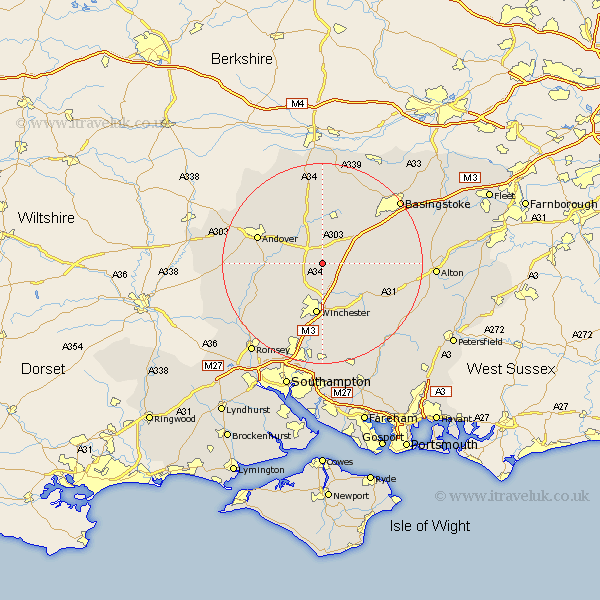
Hampshire Map Showing Location of Whitfield
District: Winchester
Easting: 448955 Northing: 139262
Latitude: 51.15 Longitude: -1.3
 = Whitfield
Easting: 448955 Northing: 139262
Latitude: 51.15 Longitude: -1.3
= Whitfield
This Whitfield map below is supplied by Google. Use the tools in the top left corner to zoom into street level or zoom out for a road map, you may also need to zoom in to see Whitfield on the map. Click and drag the map to move around. If the map fails to load try and refresh your browser or zoom in or out (+ or -).
Update - it seems Google no longer allow people to use their maps for free! This Whitfield map sometimes loads and sometimes gives a error. I am working on a solution.
Closest 30 Towns or Cities to Whitfield (Population over 500)
Wonston 1.16km Micheldever 2.98km Barton Stacey 5.01km Kings Worthy 7.42km Whitchurch 7.77km Longparish 7.89km Chilbolton 9.3km North Waltham 9.85km Overton 9.9km Winchester 10.44km Sparsholt 10.94km Dummer 11.84km New Alresford 11.9km Goodworth Clatford 12.92km Lower Clatford 12.92km Clatford 12.92km Upper Clatford 13.31km Oakley 13.77km Andover 13.94km Stockbridge 13.95km Cheriton 14.5km Twyford 14.87km Compton 15km Abbots Ann 15.56km Abbotts Ann 15.56km Kings Somborne 15.8km Hursley 16.39km Hurstbourne Tarrant 16.66km Medstead 16.7km Owslebury 16.84km