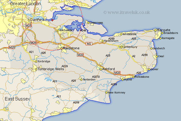
Kent Map Showing Location of West Tilbury
District: Gravesham
Easting: 569061 Northing: 175197
Latitude: 51.45 Longitude: 0.43
 = West Tilbury
Easting: 569061 Northing: 175197
Latitude: 51.45 Longitude: 0.43
= West Tilbury
This West Tilbury map below is supplied by Google. Use the tools in the top left corner to zoom into street level or zoom out for a road map, you may also need to zoom in to see West Tilbury on the map. Click and drag the map to move around. If the map fails to load try and refresh your browser or zoom in or out (+ or -).
Update - it seems Google no longer allow people to use their maps for free! This West Tilbury map sometimes loads and sometimes gives a error. I am working on a solution.
Closest 30 Towns or Cities to West Tilbury (Population over 500)
Higham 2.96km Gravesend 4.98km Shorne 5.56km Northfleet 7.18km Cobham 7.77km Rochester 8.29km High Halstow 8.3km Swanscombe 8.3km Strood 8.74km Chatham 9.4km Southfleet 9.82km Meopham 10.35km Stonewood 10.56km Hoo 10.79km Longfield 10.98km Cuxton 11.18km Gillingham 11.86km Hartley 12.3km Stoke 12.84km Wouldham 13.18km Darenth 14.35km Ash 14.46km Snodland 14.82km Dartford 15.01km Allhallows 15.13km Burham 15.22km Ridley 15.29km Wilmington 16.59km Ryarsh 17.04km Farningham 17.65km