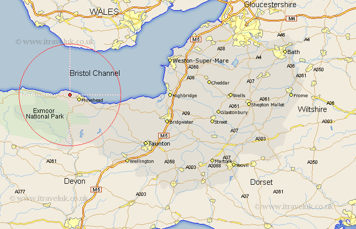
Somerset Map Showing Location of West Myne
District: West Somerset
Easting: 292921 Northing: 147563
Latitude: 51.22 Longitude: -3.53
 = West Myne
Easting: 292921 Northing: 147563
Latitude: 51.22 Longitude: -3.53
= West Myne
This West Myne map below is supplied by Google. Use the tools in the top left corner to zoom into street level or zoom out for a road map, you may also need to zoom in to see West Myne on the map. Click and drag the map to move around. If the map fails to load try and refresh your browser or zoom in or out (+ or -).
Update - it seems Google no longer allow people to use their maps for free! This West Myne map sometimes loads and sometimes gives a error. I am working on a solution.
Closest 30 Towns or Cities to West Myne (Population over 500)
Dunster 3.95km Minehead 3.95km Carhampton 8.94km Porlock 9.47km Williton 14.87km Watchet 15.01km Stogumber 18.72km Dulverton 20.43km Brushford 22.24km Wiveliscombe 25.39km Nether Stowey 26.61km Stokscourey 28.12km Stoke Courcy 28.12km Stogursey 28.12km Bishops Lydeard 29.57km Milverton 29.76km Spaxton 31.11km Otterhampton 31.57km Oake 32.19km Kingston 33.51km Norton Fitzwarren 33.64km Durleigh 35.49km Taunton 35.52km Wellington 35.53km Berrow 36.39km Brean 36.71km West Buckland 37.02km Burnham on Sea 37.19km Burnham 37.19km Burnham-on-Sea 37.19km