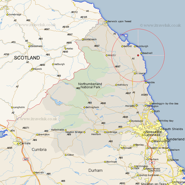
Northumberland Map Showing Location of Swinhoe
District: Berwick-upon-Tweed
Easting: 421036 Northing: 626670
Latitude: 55.53 Longitude: -1.67
 = Swinhoe
Easting: 421036 Northing: 626670
Latitude: 55.53 Longitude: -1.67
= Swinhoe
This Swinhoe map below is supplied by Google. Use the tools in the top left corner to zoom into street level or zoom out for a road map, you may also need to zoom in to see Swinhoe on the map. Click and drag the map to move around. If the map fails to load try and refresh your browser or zoom in or out (+ or -).
Update - it seems Google no longer allow people to use their maps for free! This Swinhoe map sometimes loads and sometimes gives a error. I am working on a solution.
Closest 30 Towns or Cities to Swinhoe (Population over 500)
Beadnell 2.8km North Sunderland 3.71km Embleton 6.39km Belford 12.84km Alnwick 14.97km Almwick 14.97km Alnmouth 15.41km Lisburg 16.97km Lesbury 16.97km Shilbottle 18.56km Warkworth 20.63km Wooler 20.98km Lowick 21.89km Amble 22.85km Swarland 26.28km Thirston 27.82km East Thirston 27.82km Felton 27.88km Ancroft 27.96km Rothbury 28.23km East Chevington 28.29km Longframlington 28.76km East Ord 32.6km Ord 32.6km Longhorsley 33.95km Berwick-Upon-Tweed 34.79km Berwick on Tweed 34.79km Berwick 34.79km Berwick-upon-Tweed 34.79km Berwick-on-Tweed 34.79km