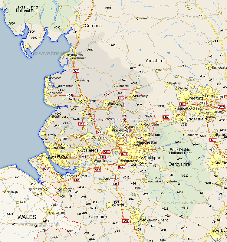
Lancashire Map Showing Location of Stubbins
District: Bury
Easting: 379070 Northing: 417127
Latitude: 53.65 Longitude: -2.32
 = Stubbins
Easting: 379070 Northing: 417127
Latitude: 53.65 Longitude: -2.32
= Stubbins
This Stubbins map below is supplied by Google. Use the tools in the top left corner to zoom into street level or zoom out for a road map, you may also need to zoom in to see Stubbins on the map. Click and drag the map to move around. If the map fails to load try and refresh your browser or zoom in or out (+ or -).
Update - it seems Google no longer allow people to use their maps for free! This Stubbins map sometimes loads and sometimes gives a error. I am working on a solution.
Closest 30 Towns or Cities to Stubbins (Population over 500)
Ramsbottom 1.86km Edenfield 2.16km Haslingden 5.67km Tottington 5.67km Bury 5.67km Turton 5.8km Rawtenstall 5.98km Bradshaw 7.82km Bromley Cross 7.82km Whitworth 8.79km Heywood 9.92km Bacup 10.39km Bolton 10.69km Oswaldtwistle 10.77km Radcliffe 11.17km Whitefield 11.17km Darwen 11.34km Rochdale 11.6km Little Lever 11.6km Church 11.95km Wardle 12.08km Farnworth 12.4km Rishton 12.92km Accrington 13.16km Prestwich 13.16km Middleton 13.52km Clayton-le-Moors 13.7km Clayton le Moor 13.7km Clayton le Moors 13.7km Kearsley 13.7km