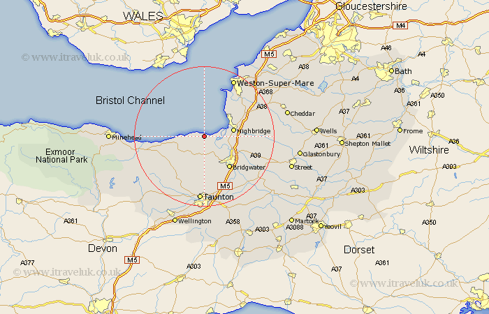
Somerset Map Showing Location of Stolford
District: West Somerset
Easting: 323154 Northing: 145164
Latitude: 51.2 Longitude: -3.1
 = Stolford
Easting: 323154 Northing: 145164
Latitude: 51.2 Longitude: -3.1
= Stolford
This Stolford map below is supplied by Google. Use the tools in the top left corner to zoom into street level or zoom out for a road map, you may also need to zoom in to see Stolford on the map. Click and drag the map to move around. If the map fails to load try and refresh your browser or zoom in or out (+ or -).
Update - it seems Google no longer allow people to use their maps for free! This Stolford map sometimes loads and sometimes gives a error. I am working on a solution.
Closest 30 Towns or Cities to Stolford (Population over 500)
Otterhampton 2.19km Stokscourey 2.97km Stoke Courcy 2.97km Stogursey 2.97km Pawlett 7.21km Nether Stowey 7.25km Burnham-on-Sea 7.89km Burnham 7.89km Burnham on Sea 7.89km Huntspill 8.13km Highbridge 8.34km Spaxton 9.34km Berrow 9.42km Durleigh 9.9km Puriton 10km Brent Knoll 10.82km Brean 10.93km Bridgwater 11.59km Bridgewater 11.59km North Petherton 12.55km Cossington 13.94km Lympsham 13.96km Mark 14.06km Weston Zoyland 14.86km Kingston 14.87km Bleadon 15.25km Stogumber 15.8km Bishops Lydeard 15.92km Watchet 16.68km West Monkton 17.04km