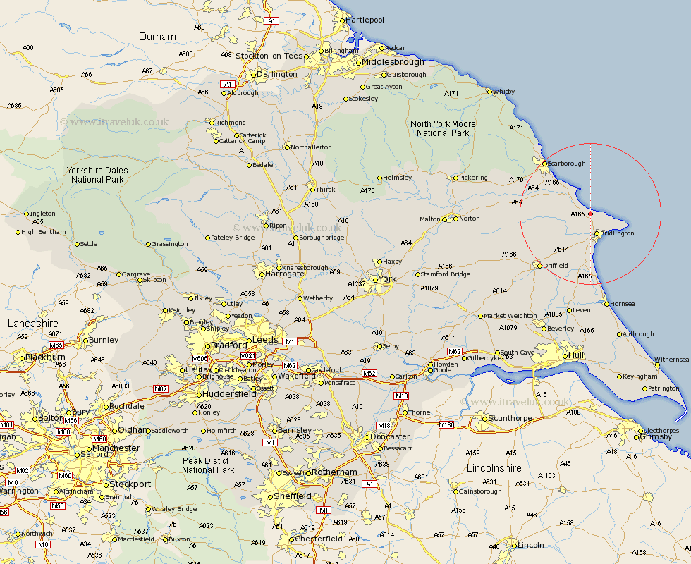
Yorkshire Map Showing Location of Speeton

District: Scarborough
Easting: 515370 Northing: 474147 | Latitude: 54.15 Longitude: -0.23
 = Speeton
Easting: 515370 Northing: 474147 | Latitude: 54.15 Longitude: -0.23
= Speeton
This Speeton map below is supplied by Google. Use the tools in the top left corner to zoom into street level or zoom out for a road map, you may also need to zoom in to see Speeton on the map. Click and drag the map to move around. If the map fails to load try and refresh your browser or zoom in or out (+ or -).
The latitude and longitude points for Speeton are taken from the boundry, so the marker may not be on town center.