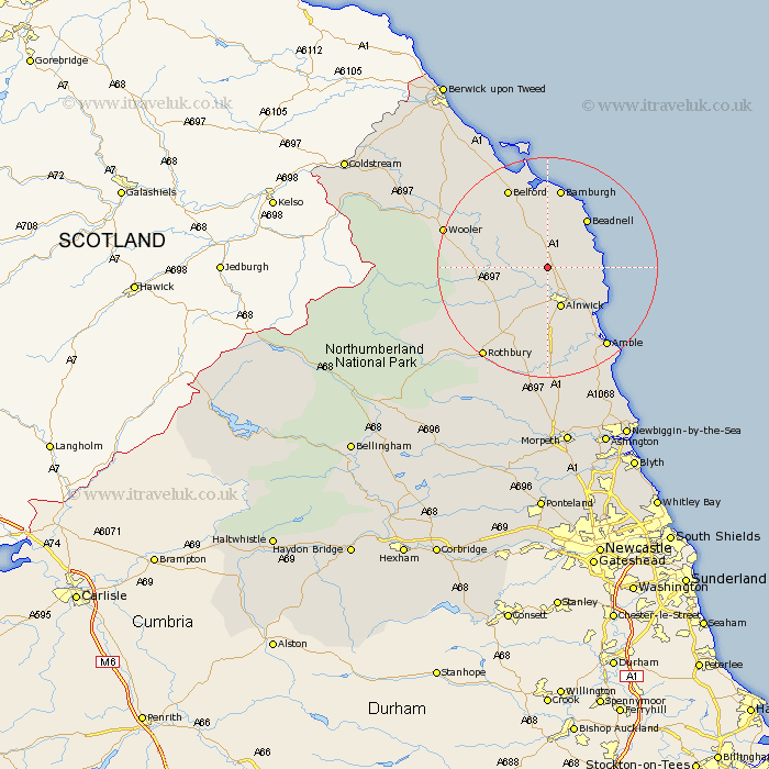
Northumberland Map Showing Location of South Charlton
District: Alnwick
Easting: 416858 Northing: 619241
Latitude: 55.47 Longitude: -1.73
 = South Charlton
Easting: 416858 Northing: 619241
Latitude: 55.47 Longitude: -1.73
= South Charlton
This South Charlton map below is supplied by Google. Use the tools in the top left corner to zoom into street level or zoom out for a road map, you may also need to zoom in to see South Charlton on the map. Click and drag the map to move around. If the map fails to load try and refresh your browser or zoom in or out (+ or -).
Update - it seems Google no longer allow people to use their maps for free! This South Charlton map sometimes loads and sometimes gives a error. I am working on a solution.
Closest 30 Towns or Cities to South Charlton (Population over 500)
Embleton 7.58km Alnwick 7.71km Almwick 7.71km Beadnell 11.2km Alnmouth 11.21km Shilbottle 11.56km Lisburg 11.84km Lesbury 11.84km North Sunderland 11.88km Warkworth 14.92km Belford 16.1km Amble 17.6km Wooler 18.36km Swarland 18.54km Rothbury 19.72km Felton 20.5km Longframlington 20.64km East Thirston 20.64km Thirston 20.64km East Chevington 22.49km Lowick 23.63km Longhorsley 26.04km Ellington 29.73km Lynemouth 30.67km Ancroft 30.88km Hebron 31.67km Morpeth 33.51km Pegswood 33.95km Newbiggin-by-the-Sea 34.59km Newbiggin by the Sea 34.59km