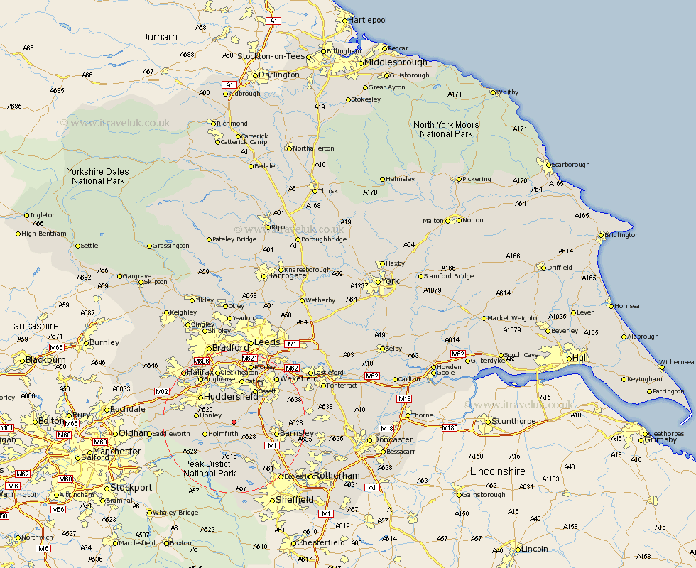
Yorkshire Map Showing Location of Skelmanthorpe
District: Kirklees
Easting: 423168 Northing: 409718
Latitude: 53.58 Longitude: -1.65
 = Skelmanthorpe
Easting: 423168 Northing: 409718
Latitude: 53.58 Longitude: -1.65
= Skelmanthorpe
This Skelmanthorpe map below is supplied by Google. Use the tools in the top left corner to zoom into street level or zoom out for a road map, you may also need to zoom in to see Skelmanthorpe on the map. Click and drag the map to move around. If the map fails to load try and refresh your browser or zoom in or out (+ or -).
Update - it seems Google no longer allow people to use their maps for free! This Skelmanthorpe map sometimes loads and sometimes gives a error. I am working on a solution.
Closest 30 Towns or Cities to Skelmanthorpe (Population over 500)
Denby Dale 2.15km Shelley 2.88km Kirkburton 3.79km Emley 3.87km Shepley 4.4km Cawthorne 4.77km West Bretton 6.64km Bretton 6.64km Darton 7.7km Penistone 7.73km Silkstone 7.82km Middletown 8.12km Middlestown 8.12km Holmfirth 8.55km Woolley 8.99km Crigglestone 9.5km Dodworth 9.5km Mirfield 9.53km Dunford Bridge 9.92km Honley 10.07km Ossett 10.78km Notton 11.16km Horbury 11.38km Huddersfield 11.5km Stocksbridge 11.6km Barnsley 11.61km Batley 12.41km Holme 12.66km Heckmondwike 13.02km Dewsbury 13.16km