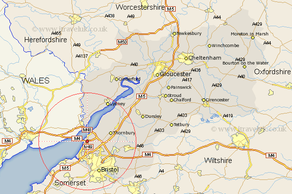
Gloucestershire Map Showing Location of Redwick
Easting: 354952 Northing: 185567
Latitude: 51.57 Longitude: -2.65
 = Redwick
Latitude: 51.57 Longitude: -2.65
= Redwick
This Redwick map below is supplied by Google. Use the tools in the top left corner to zoom into street level or zoom out for a road map, you may also need to zoom in to see Redwick on the map. Click and drag the map to move around. If the map fails to load try and refresh your browser or zoom in or out (+ or -).
Update - it seems Google no longer allow people to use their maps for free! This Redwick map sometimes loads and sometimes gives a error. I am working on a solution.
Closest 30 Towns or Cities to Redwick (Population over 500)
Pilning 2.19km Aust 4.36km Olveston 6.05km Almondsbury 6.05km Patchway 6.86km Filton 8.01km Alveston 8.87km Stoke Gifford 8.88km Tidenham 9.26km Thornbury 9.93km Winterbourne 11.58km Tytherington 12.1km Frampton Cotterell 12.11km Iron Acton 12.81km Bristol 13.77km Rangeworthy 13.82km Cromhall 14.89km Kingswood 15.21km Woolaston 15.22km Falfield 15.67km Stone 15.69km Mangotsfield 15.71km Westerleigh 15.98km Charfield 17.05km Siston 17.75km Wickwar 18.52km Lydney 18.52km St Briavels 18.67km Saint Briavels 18.67km St. Briavels 18.67km