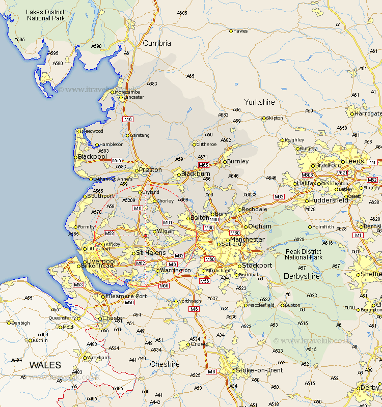
Lancashire Map Showing Location of Pemberton
District: Wigan
Easting: 355800 Northing: 402459
Latitude: 53.52 Longitude: -2.67
 = Pemberton
Easting: 355800 Northing: 402459
Latitude: 53.52 Longitude: -2.67
= Pemberton
This Pemberton map below is supplied by Google. Use the tools in the top left corner to zoom into street level or zoom out for a road map, you may also need to zoom in to see Pemberton on the map. Click and drag the map to move around. If the map fails to load try and refresh your browser or zoom in or out (+ or -).
Update - it seems Google no longer allow people to use their maps for free! This Pemberton map sometimes loads and sometimes gives a error. I am working on a solution.
Closest 30 Towns or Cities to Pemberton (Population over 500)
Billinge 2.88km Ince-in-Makerfield 3.78km Ince 3.78km Wigan 3.78km Ashton in Makerfield 3.87km Ashton 3.87km Abram 5.51km Haydock 5.56km Shevington 5.67km Hindley 5.81km Appley Bridge 6.47km Golborne 7.1km Standish 7.41km St Helens 8.63km Saint Helens 8.63km St. Helens 8.63km Rainford 8.82km Skelmersdale 9km Blackrod 9.23km Parbold 9.92km Adlington 10.26km Westhoughton 10.58km Leigh 10.59km Eccleston 10.7km Haigh 10.77km Bickerstaffe 11.02km Atherton 11.02km Coppull 11.17km Lathom 11.36km Horwich 12.05km