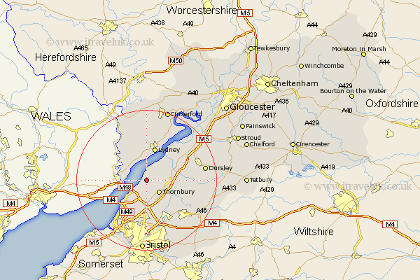
Gloucestershire Map Showing Location of Oldbury
Easting: 360784 Northing: 192925
Latitude: 51.63 Longitude: -2.57
 = Oldbury
Latitude: 51.63 Longitude: -2.57
= Oldbury
This Oldbury map below is supplied by Google. Use the tools in the top left corner to zoom into street level or zoom out for a road map, you may also need to zoom in to see Oldbury on the map. Click and drag the map to move around. If the map fails to load try and refresh your browser or zoom in or out (+ or -).
Update - it seems Google no longer allow people to use their maps for free! This Oldbury map sometimes loads and sometimes gives a error. I am working on a solution.
Closest 30 Towns or Cities to Oldbury (Population over 500)
Alveston 4.36km Aust 5.06km Thornbury 5.06km Olveston 5.56km Tidenham 6.04km Tytherington 6.84km Stone 7.15km Woolaston 7.77km Falfield 8.05km Cromhall 8.26km Almondsbury 9.26km Lydney 9.55km Berkeley 9.78km Pilning 10.34km Charfield 10.52km Rangeworthy 10.94km Patchway 11.12km Iron Acton 11.56km Winterbourne 12.1km Frampton Cotterell 12.52km Filton 12.97km Bream 12.98km Stoke Gifford 13.02km North Nibley 13.18km Saint Briavels 13.72km St. Briavels 13.72km St Briavels 13.72km Wickwar 13.83km Wotton-under-Edge 14.95km Wotton under Edge 14.95km