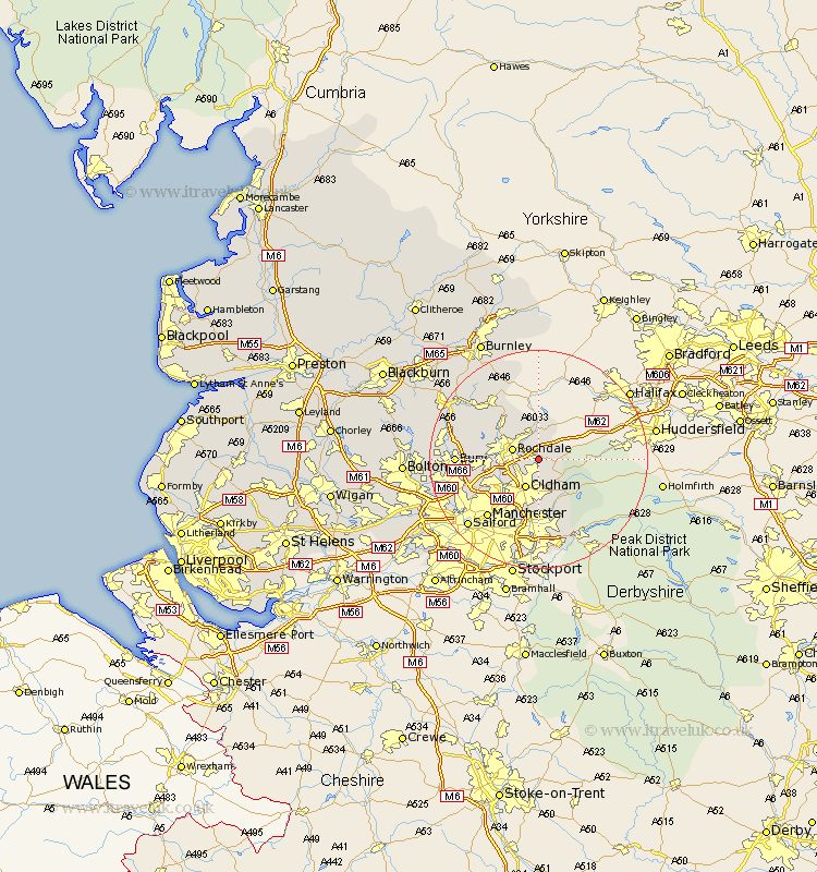
Lancashire Map Showing Location of New Hey
District: Rochdale
Easting: 394486 Northing: 411522
Latitude: 53.6 Longitude: -2.08
 = New Hey
Easting: 394486 Northing: 411522
Latitude: 53.6 Longitude: -2.08
= New Hey
This New Hey map below is supplied by Google. Use the tools in the top left corner to zoom into street level or zoom out for a road map, you may also need to zoom in to see New Hey on the map. Click and drag the map to move around. If the map fails to load try and refresh your browser or zoom in or out (+ or -).
Update - it seems Google no longer allow people to use their maps for free! This New Hey map sometimes loads and sometimes gives a error. I am working on a solution.
Closest 30 Towns or Cities to New Hey (Population over 500)
Milnrow 1.1km Shaw 3.7km Littleborough 3.86km Royton 4.31km Rochdale 4.77km Uppermill 5.71km Delph 5.75km Oldham 5.98km Wardle 6.46km Whitworth 8.63km Heywood 8.99km Middleton 9.5km Failsworth 9.83km Mossley 10.26km Ashton-under-Lyne 11.17km Ashton under Lyne 11.17km Ashton 11.17km Bacup 12.93km Droylsden 13.7km Droylesden 13.7km Manchester 14.19km Bury 14.3km Prestwich 15.15km Whitefield 15.35km Ramsbottom 15.83km Edenfield 16.1km Tottington 16.5km Denton 16.83km Chadderton 17km Rawtenstall 17.24km