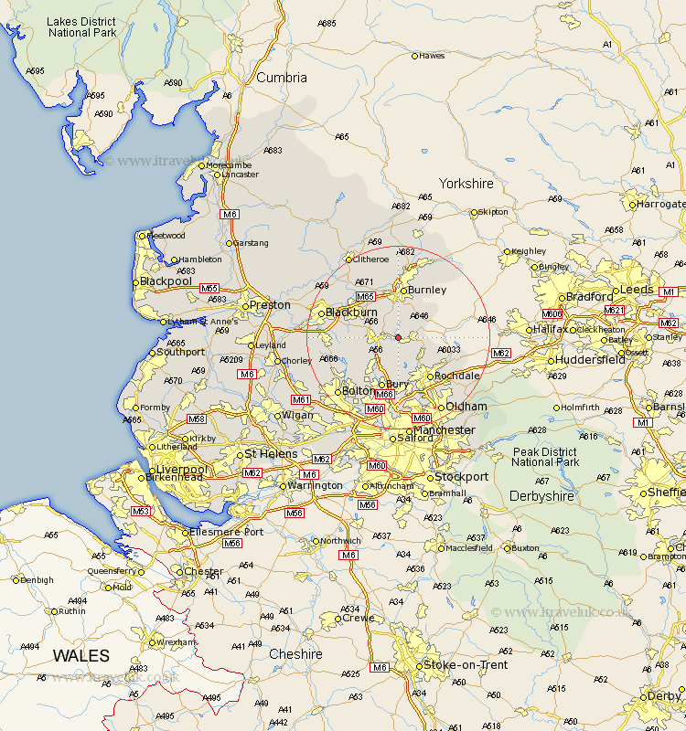
Lancashire Map Showing Location of Newchurch
District: Rossendale
Easting: 383496 Northing: 422672
Latitude: 53.7 Longitude: -2.25
 = Newchurch
Easting: 383496 Northing: 422672
Latitude: 53.7 Longitude: -2.25
= Newchurch
This Newchurch map below is supplied by Google. Use the tools in the top left corner to zoom into street level or zoom out for a road map, you may also need to zoom in to see Newchurch on the map. Click and drag the map to move around. If the map fails to load try and refresh your browser or zoom in or out (+ or -).
Update - it seems Google no longer allow people to use their maps for free! This Newchurch map sometimes loads and sometimes gives a error. I am working on a solution.
Closest 30 Towns or Cities to Newchurch (Population over 500)
Rawtenstall 2.19km Bacup 4.39km Edenfield 4.96km Haslingden 5.49km Whitworth 7.09km Ramsbottom 8.62km Wardle 9.48km Accrington 9.91km Hapton 10.25km Padiham 10.25km Church 10.38km Oswaldtwistle 10.54km Altham 10.77km Burnley 11.17km Simonstone 11.36km Rochdale 11.37km Clayton-le-Moors 11.49km Clayton le Moor 11.49km Clayton le Moors 11.49km Bury 11.6km Rishton 12.29km Turton 12.36km Littleborough 12.36km Tottington 12.4km Brierfield 13.02km Heywood 13.16km Sabden 14.09km Darwen 14.26km Great Harwood 14.35km Bradshaw 14.88km