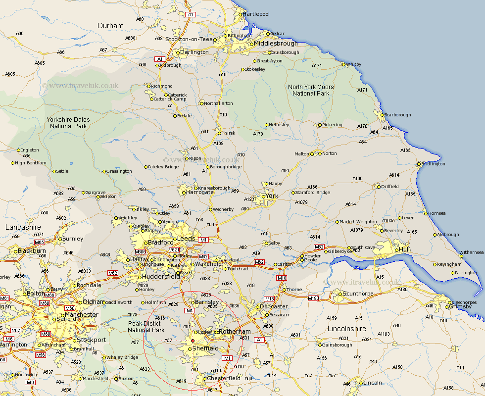
Yorkshire Map Showing Location of Neepsend
District: Sheffield
Easting: 434349 Northing: 389394
Latitude: 53.4 Longitude: -1.48
 = Neepsend
Easting: 434349 Northing: 389394
Latitude: 53.4 Longitude: -1.48
= Neepsend
This Neepsend map below is supplied by Google. Use the tools in the top left corner to zoom into street level or zoom out for a road map, you may also need to zoom in to see Neepsend on the map. Click and drag the map to move around. If the map fails to load try and refresh your browser or zoom in or out (+ or -).
Update - it seems Google no longer allow people to use their maps for free! This Neepsend map sometimes loads and sometimes gives a error. I am working on a solution.
Closest 30 Towns or Cities to Neepsend (Population over 500)
Sheffield 3.86km Ecclesfield 3.86km Wharncliffe Side 5.77km Wharncliffe 5.77km Oughtibridge 5.77km Bradfield 7.95km Orgreave 7.96km Wentworth 8.63km Treeton 9.03km Tankersley 9.33km Rotherdam 9.58km Rotherham 9.58km Wortley 9.84km Whiston 9.94km Birdwell 11.12km Hoyland 11.34km Hoyland Nether 11.34km Rawmarsh 11.39km Stocksbridge 12.06km Beighton 12.41km Worsborough 12.98km Worsbrough 12.98km Thrybergh 13.36km Aston 13.37km Wickersley 13.39km Wombwell 14.1km Wath on Dearne 14.2km Wath-on-Dearne 14.2km Wath upon Dearne 14.2km Wath 14.2km