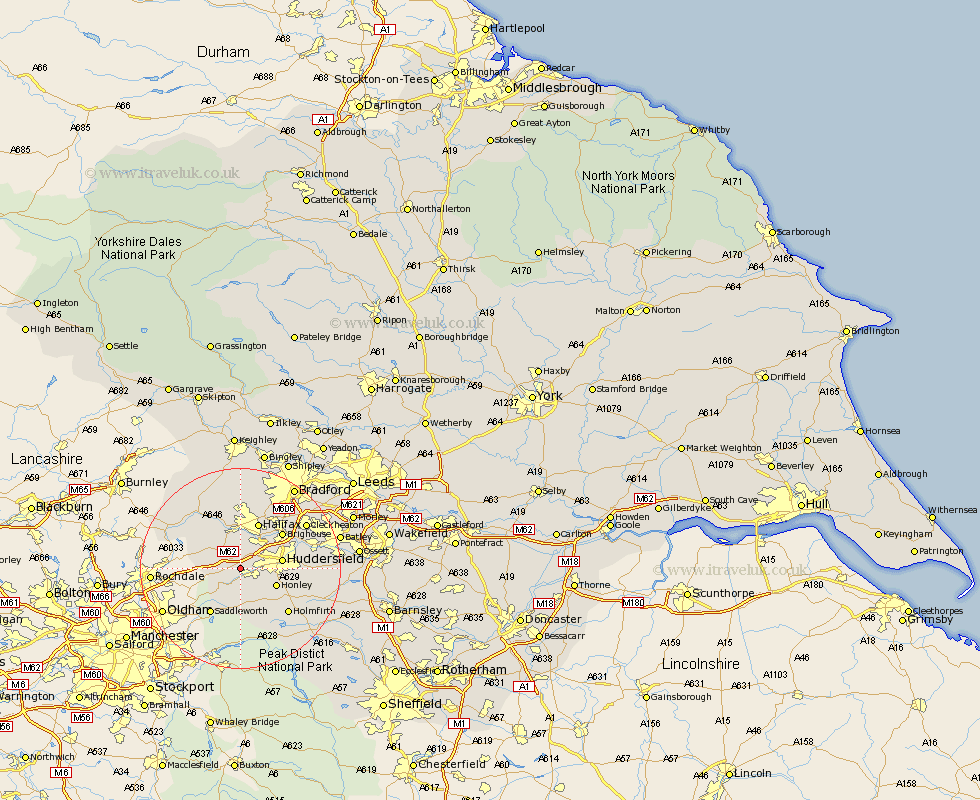
Yorkshire Map Showing Location of Moorside Edge
District: Kirklees
Easting: 406611 Northing: 415227
Latitude: 53.63 Longitude: -1.9
 = Moorside Edge
Easting: 406611 Northing: 415227
Latitude: 53.63 Longitude: -1.9
= Moorside Edge
This Moorside Edge map below is supplied by Google. Use the tools in the top left corner to zoom into street level or zoom out for a road map, you may also need to zoom in to see Moorside Edge on the map. Click and drag the map to move around. If the map fails to load try and refresh your browser or zoom in or out (+ or -).
Update - it seems Google no longer allow people to use their maps for free! This Moorside Edge map sometimes loads and sometimes gives a error. I am working on a solution.
Closest 30 Towns or Cities to Moorside Edge (Population over 500)
Ripponden 4.97km Meltham 6.46km Elland 7.09km Honley 7.56km Huddersfield 7.91km Luddenden Foot 9.53km Halifax 9.84km Holme 10.25km Brighouse 10.68km Saddleworth 10.77km Mytholmroyd 10.78km Holmfirth 12.78km Shepley 13.31km Kirkburton 13.7km Mirfield 14.75km Shelley 14.76km Queensbury 14.87km Hebden Bridge 15.08km Heptonstall 15.08km Liversedge 15.12km Todmorden 15.23km Cleckheaton 15.23km Dunford Bridge 16.31km Denholme 16.68km Heckmondwike 17.07km Denby Dale 17.08km Emley 17.68km Oxenhope 18.83km Bradford 19.38km Batley 19.55km